Eyam Circular Walk: Visit the Plague Village & Riley’s Graves

Key Information About The Walk

Type of Walk: Circular, historical village and countryside walk

Average Time to Complete: 1 hour 30 minutes

Where to Park: The main car park is on Hawkhill Road, opposite Eyam Museum (postcode: S32 5QP). This car park has both free and pay-and-display options.

Toilets Nearby: Yes, public toilets are available at the main car park opposite the museum.

Dog Friendly: Yes, dogs can be off-lead in some areas

Kid Friendly: Yes, but some sections may be steep for young children

Recommended Footwear: Comfortable walking shoes; can be muddy in wet weather

Introduction

This is a 3.2-mile circular trail near Stoney Middleton, Derbyshire. It’s an easy route and takes about an 1 hour 30 mins to complete. The trail is open all year and is beautiful to visit anytime. You can bring your dog, and they can be off-lead in some areas.

This is a lovely trail exploring the area around the small village of Eyam in the Peak District National Park, passing by Riley’s Graves and Stoney Middleton.

Fun Fact: I’ve often wondered how to pronounce Eyam. Is it E-am or I-am? Well, neither is correct! It’s pronounced Eeeem!

The village of Eyam has a tragic history as it was hit hard by the Bubonic Plague in 1665 after a package of cloth arrived from London at the end of August. The first person to die from the plague was George Viccars, the tailor’s assistant who had the damp cloth hung out to dry by the fire. He was found infested with fleas and died a few days later.

The plague spread rapidly amongst the villagers. The Rector William Mompesson suggested that villagers should quarantine, and church services were held outside to keep the plague from spreading beyond Eyam. From September 1665 until October 1666, at least 260 villagers died, and the families buried their dead close to home. Only the rector’s wife was buried near the church, which is the only plaque grave in the churchyard.

Eyam, Rileys Graves, and Stoney Middleton Circular

Check the full details and map on AllTrails. For 30% off AllTrails click here.

Car Park to Eyam Hall

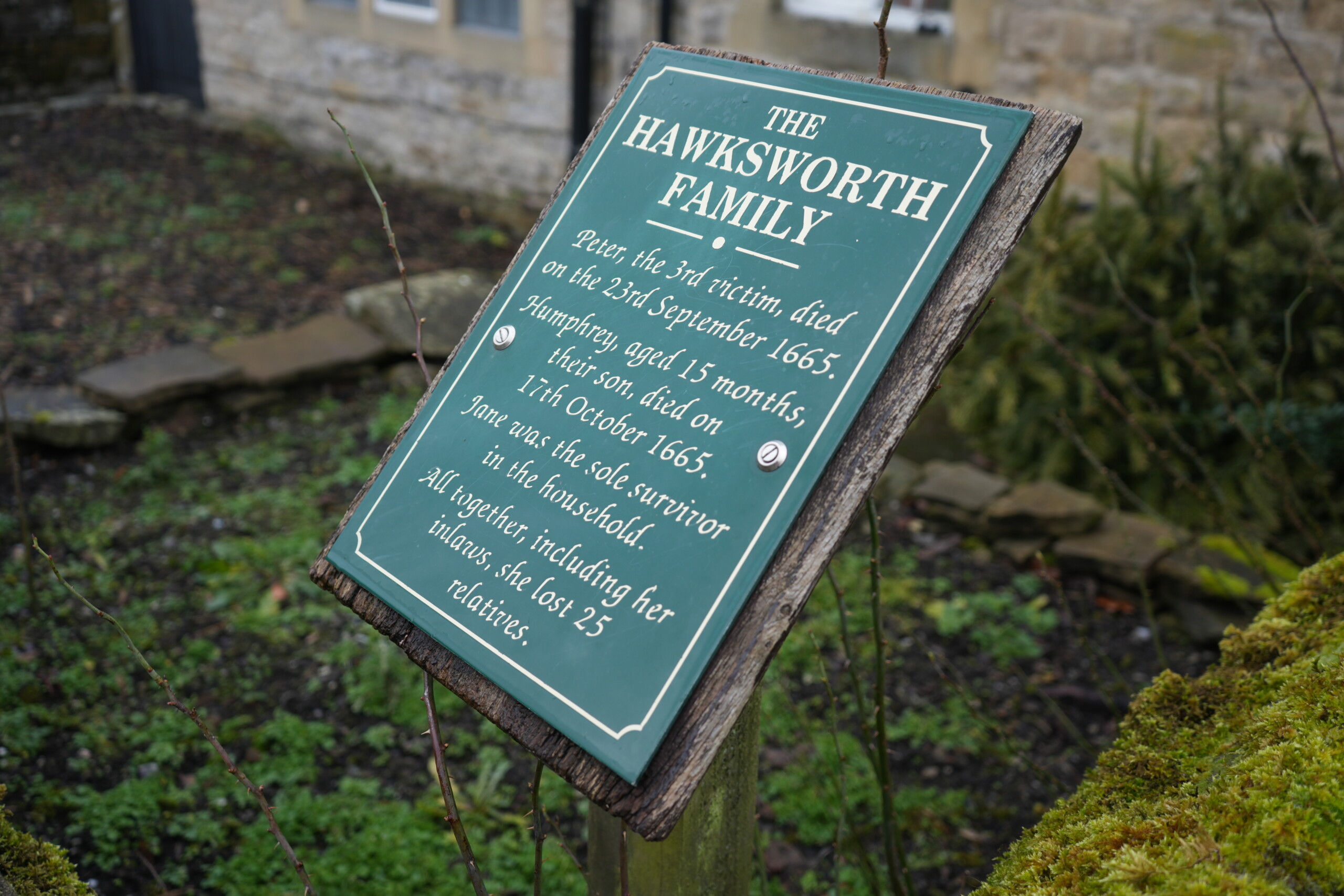
From the car park, turn left and walk down Hawkhill Road, passing the museum on the right and the public toilets on the left. On reaching the T-junction at the bottom, turn left along Church Street. Follow this road, (the pavement swaps from one side to the other, but ultimately you will need to be on the left-hand pavement). As you walk along, you’ll pass several cottages where the plague broke out and where the first deaths of the plague were located. Each cottage has a plaque to remember the family that lived there, and the effect the plague had on them. Continue, and you will pass Eyam Hall, which is open to the public and is run by the National Trust. There is a café and toilets.
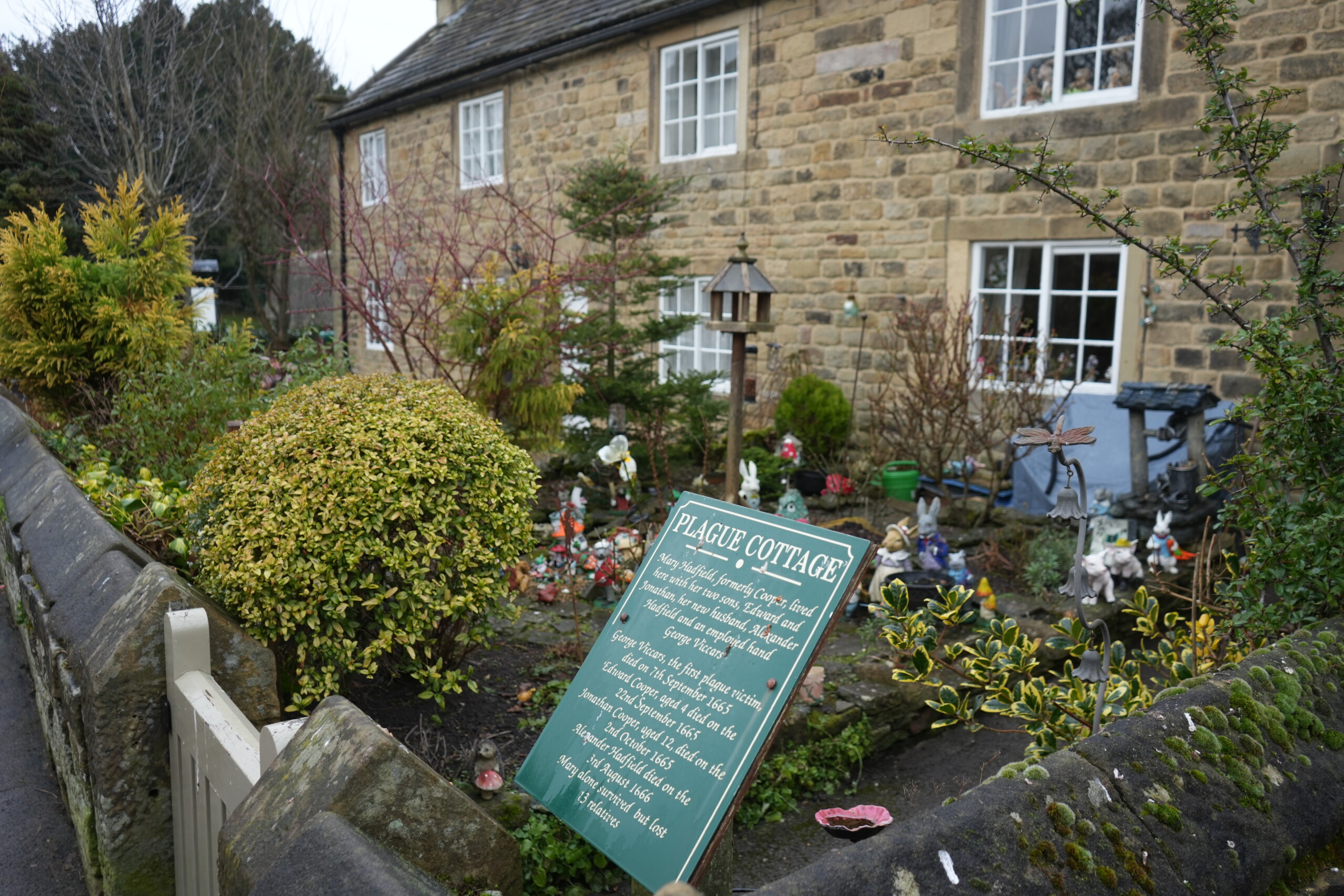
A historic stone cottage in Eyam, England, known as 'Plague Cottage,' with a green informational sign in the foreground detailing its connection to the 1665 plague. The cottage features white-framed windows and a small front garden filled with decorative ornaments, shrubs, and a birdhouse. The stone wall surrounding the property is covered in moss, with a cream-coloured wooden gate at the entrance.
A weathered green informational sign titled 'The Hawksworth Family' stands in front of a historic stone cottage in Eyam, England. The sign details the tragic loss of Peter Hawksworth, who died in September 1665, and his 15-month-old son, Humphrey, who passed away in October 1665, during the village's plague outbreak. Jane Hawksworth was the only household survivor, having lost 25 relatives in total. The sign is mounted on a wooden post, surrounded by moss-covered stone walls and a garden with sparse greenery.

Eyam Hall to St Lawrence Church

Across from the hall, you can see the village stocks and the former market hall with its bright turquoise gates and shutters. The stocks were used by the Barmote Court to discharge justice to lead miners.

Fun Fact: The Barmote Court was the oldest court in England and was created by the Duke of Lancaster in the 13th Century. Until the late 19th Century offenders would be held in the stocks by their arms or legs and pelted with stones and earth along with smelly dung and offal. This was public humiliation. 
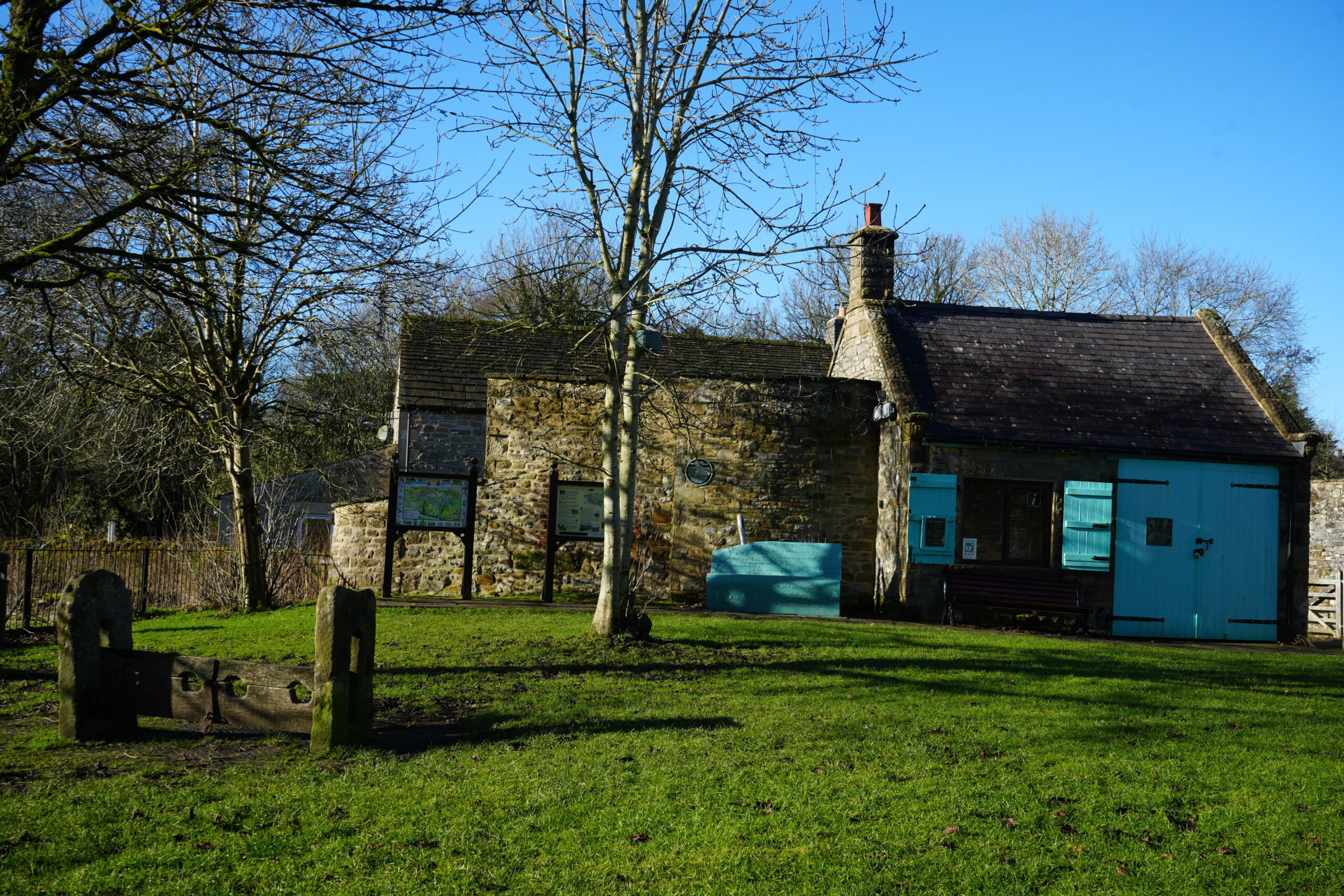
A historic stone building in Eyam, England, with blue wooden shutters and doors, situated in a grassy area with old wooden stocks in the foreground. The site serves as a visitor centre, with informational boards mounted on stands near the entrance. Leafless trees frame the scene, and the bright blue sky contrasts with the rustic stone architecture. The stocks, a remnant of historical punishment methods, add to the historical significance of the location.

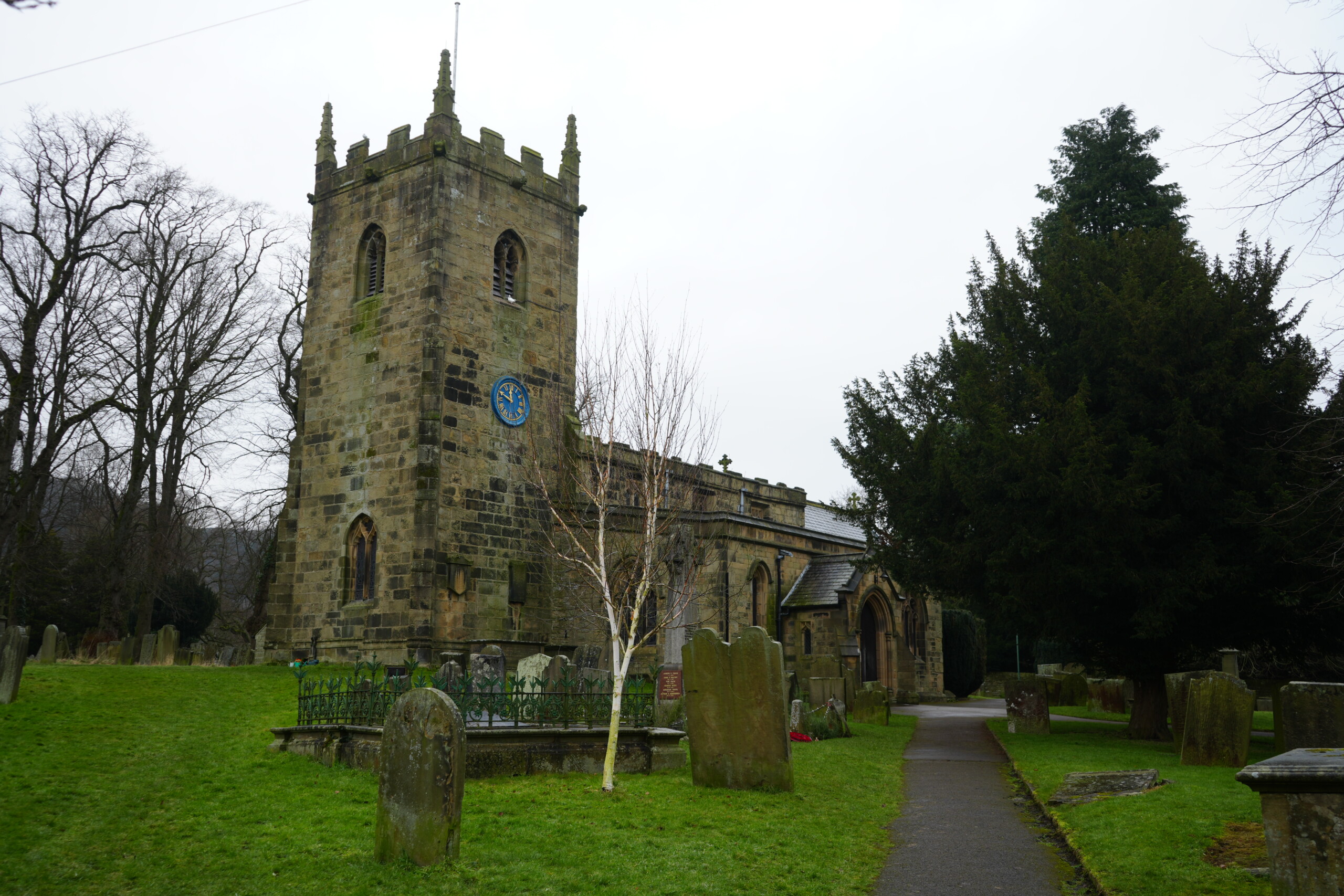
Further along, you will pass the sheep roast on the left (Hmm not for me I’m a veggie) and, further still on the left, Eyam Parish Church which has an unusual stone sun dial high on its front wall and a striking blue and gold clock on the tower.
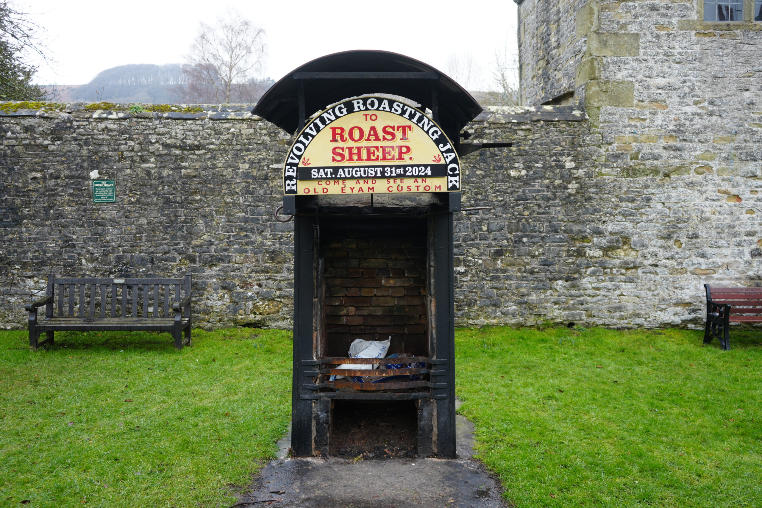
A historic revolving roasting jack in Eyam, England, featuring a black metal structure with a brick interior, traditionally used for roasting sheep. A sign above reads 'Revolving Roasting Jack to Roast Sheep' with a date for an event on August 31st, 2024, inviting visitors to witness an old Eyam custom. The roasting jack is set against a stone wall, with wooden benches on either side and a grassy area in the foreground. A distant hill and trees are visible in the background.
St. Lawrence Church in Eyam, England, a historic stone church with a square tower featuring battlements and a blue clock face. The churchyard is filled with weathered gravestones, including a prominent white-barked tree near the entrance. A pathway leads towards the church's arched doorway, surrounded by lush green grass and mature trees. The overcast sky adds a sombre atmosphere to the scene, reflecting the church’s historical significance in the village's past, particularly during the plague era.

Fun Fact: The blue and gold on church clocks dates to Henry V111 who said that due to God’s command to Moses (Exodus39) to make Aaron the priests “garments of blue with golds bells” church clocks should also be blue and gold.

St Lawrence Church to Waymarker

Follow the road uphill passing ‘The Miners Arms’ until you reach the last house on the right. Here, cross the road and bear left up Riley Lane.

Fun Facts: The Miners Arms built in 1630 is a reminder of the villages industrial past when lead was mined.

During the 1841 census, villagers were employed in agriculture, lead mining, cotton and silk weaving.

By the 1881 census most worked either as lead miners or in the manufacture of boots and shoes.

By the 1960’s this trade had disappeared to be replaced by tourism.
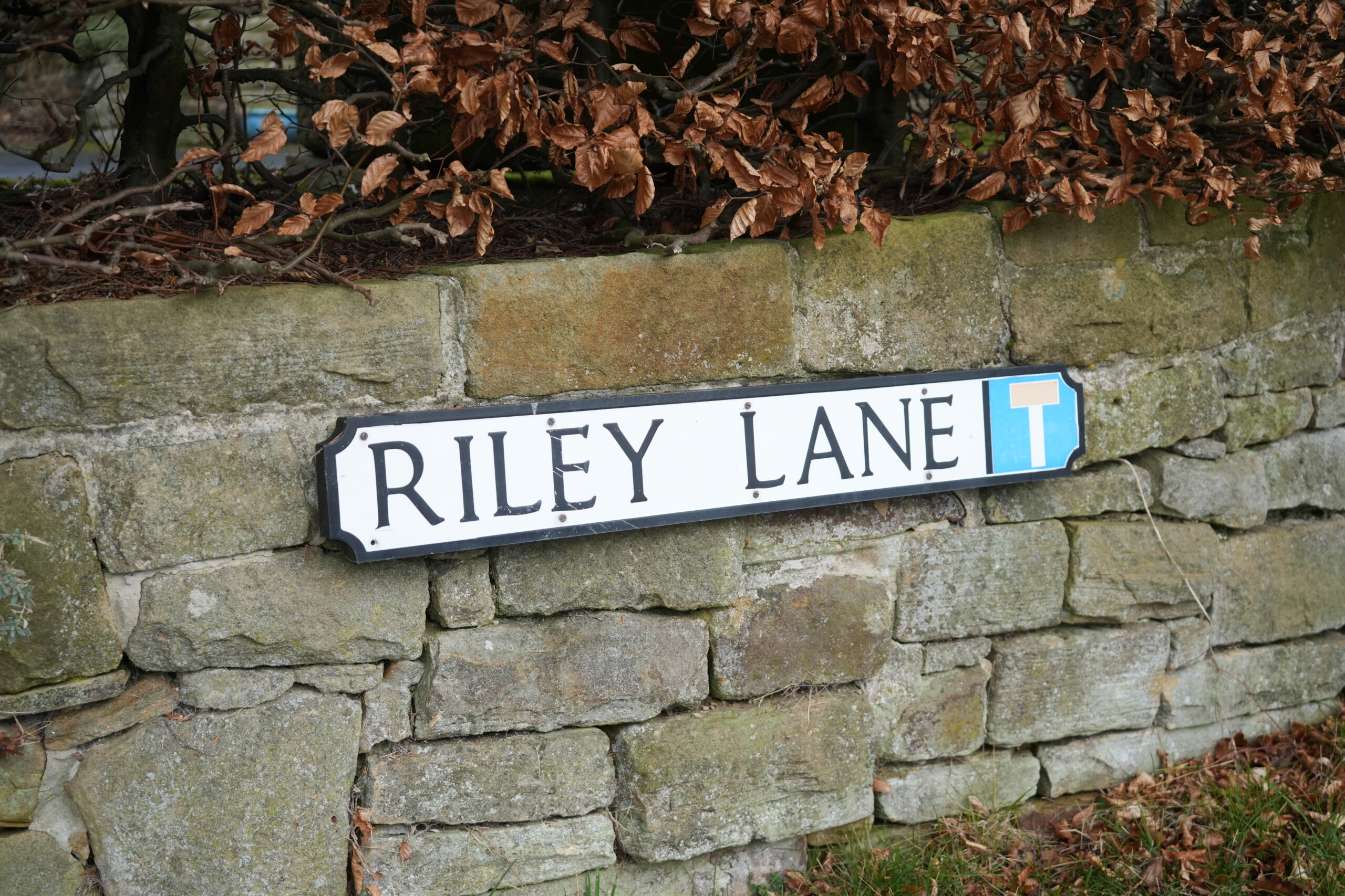
A white street sign with black lettering reading 'Riley Lane' is mounted on an old stone wall in Eyam, England. A blue 'T' symbol at the end of the sign indicates a dead-end road. Above the sign, dried brown leaves from a hedge overhang the wall. The weathered stone and foliage add a rustic charm to this quaint village scene.
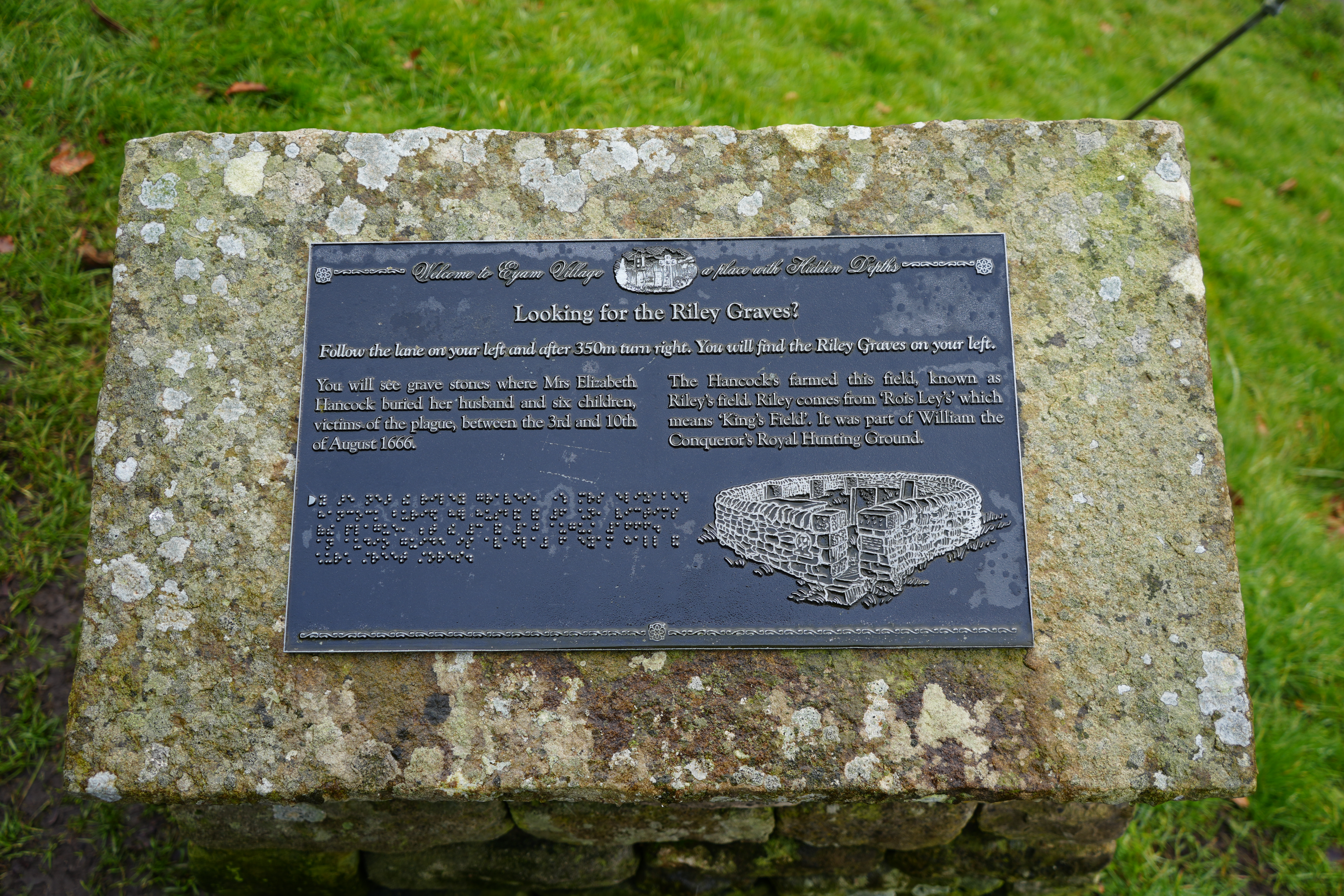
A black informational plaque mounted on a weathered stone block in Eyam, England, providing historical details about the Riley Graves. The plaque explains that Mrs. Elizabeth Hancock buried her husband and six children, victims of the 1666 plague, in this location. It also describes the origins of 'Riley' from 'Rois Leys,' meaning 'King’s Field,' which was part of William the Conqueror’s Royal Hunting Ground. The plaque includes an engraved illustration of the graves and features Braille text for accessibility. The surrounding area is covered in green grass, adding to the solemn historical atmosphere.
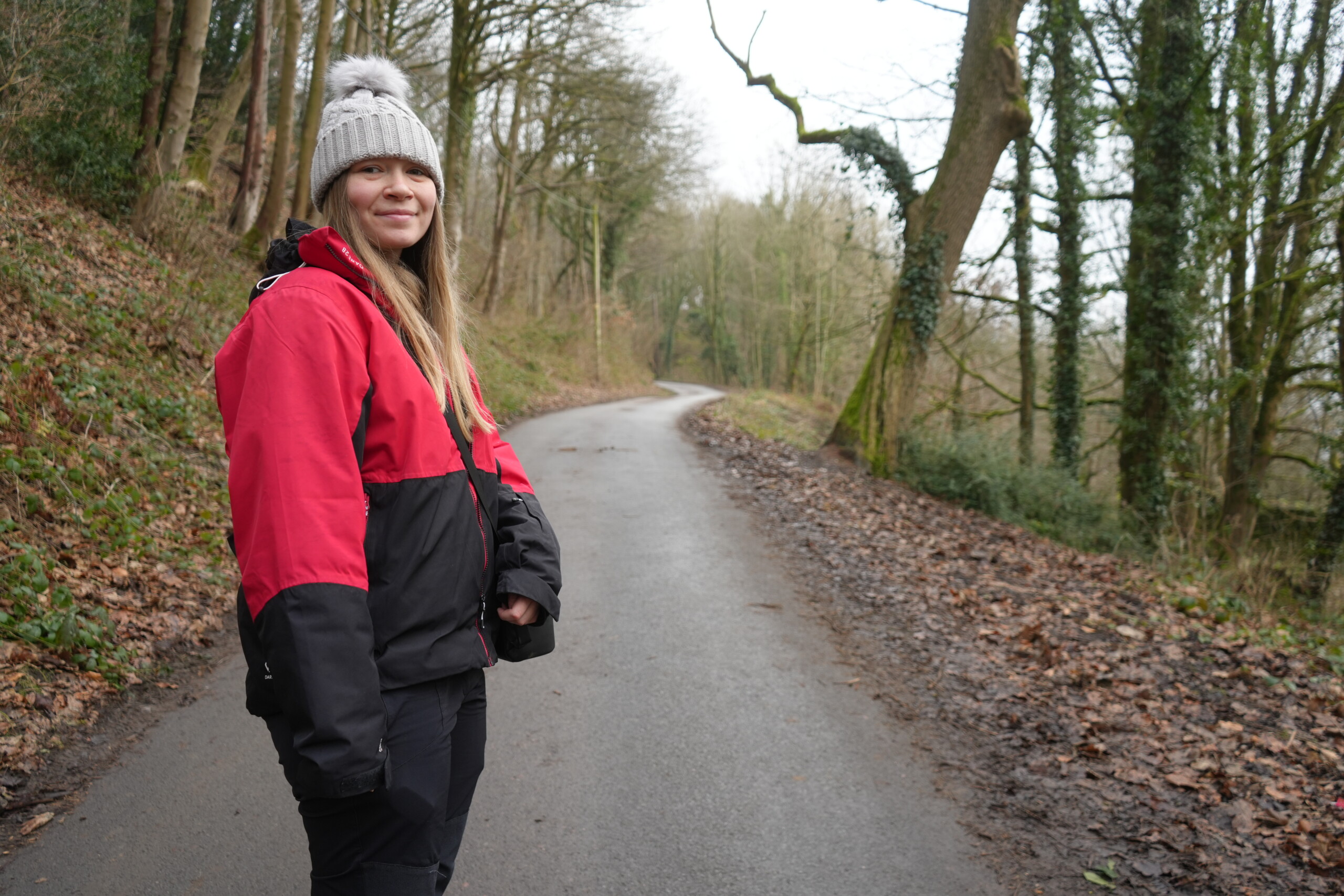
The Nott'm Laaass walking up Rileys Lane in Eyam.
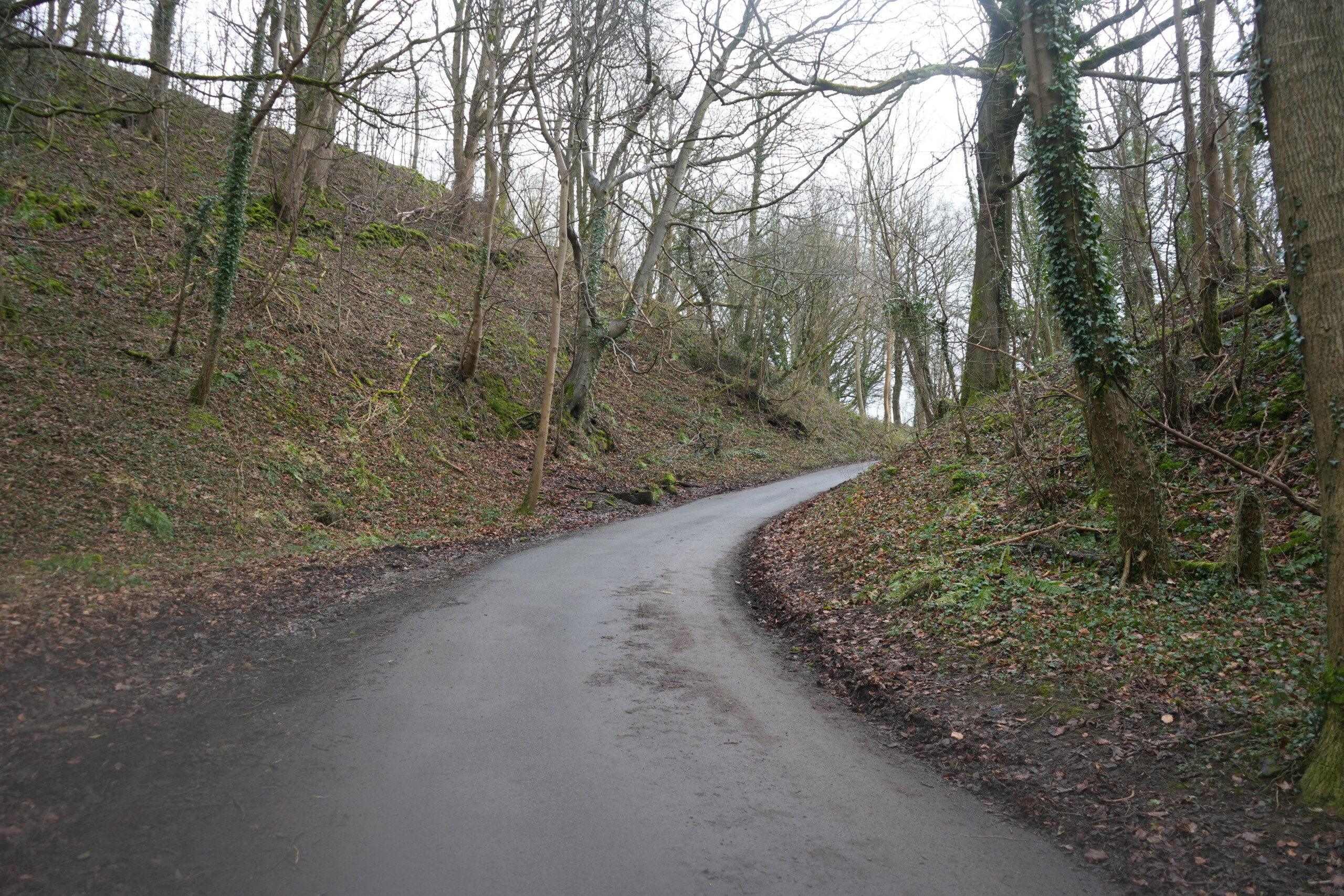
A narrow, winding country lane in Eyam, England, surrounded by steep, moss-covered banks and a dense woodland of tall, leafless trees. Some trees have ivy climbing their trunks, adding greenery to the otherwise wintry landscape. The damp road curves gently uphill, disappearing into the distance, creating a peaceful and secluded atmosphere. Fallen leaves and patches of mud line the roadside, giving the path a natural, untouched feel.

Riley Lane to Riley’s Graves

Follow this lane as it winds uphill and, as the lane splits at Riley’s House Farm, take the right-hand fork.

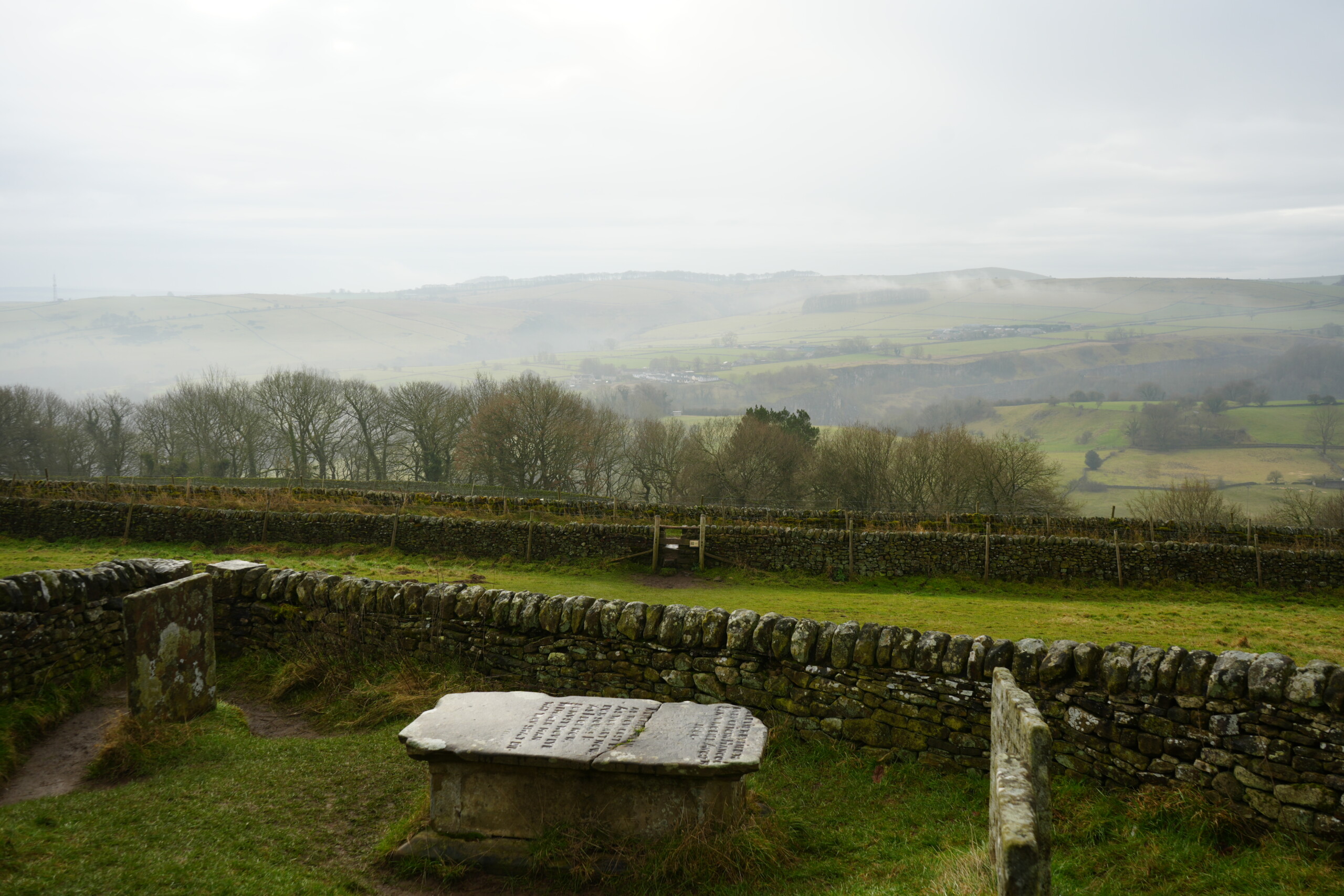
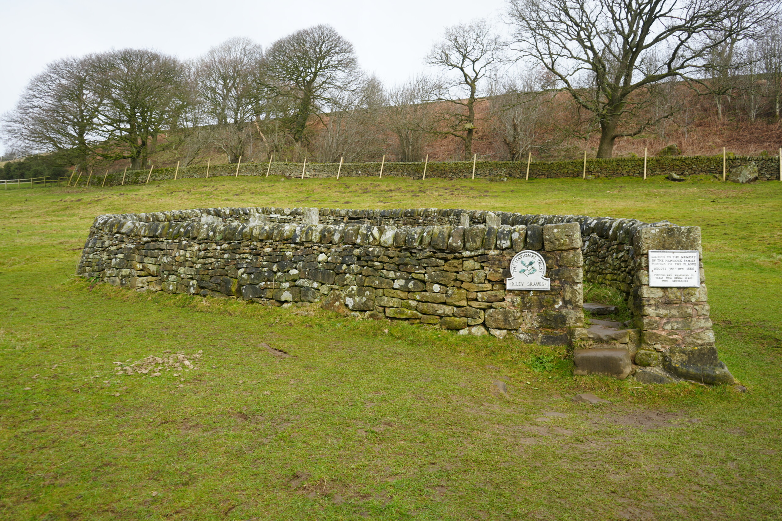
A little further along the road you will arrive at Riley’s Graves on the left. (If you wish, you can clamber over the stile to explore the grave site). This is where Mrs. Elizabeth Handcock buried her husband and six children. Over the course of eight days, she dragged each of their corpses at night to this site where she dug graves and buried them. Elizabeth survived the plague and moved to Sheffield to live with her only surviving son. Imagine how horrendous this must have been for poor Elizabeth.

I can see why she chose this spot to bury her family as the view over the valley is fantastic, and on a clear day you can see the 16th Century Hunting Tower on the Chatsworth Estate where you can now stay for a holiday.

Fun Fact: The name Riley’s Field comes from Rois Leys or Kings field which was part of William the Conqueror’s hunting ground. He reigned from 1066 until his death in 1087.
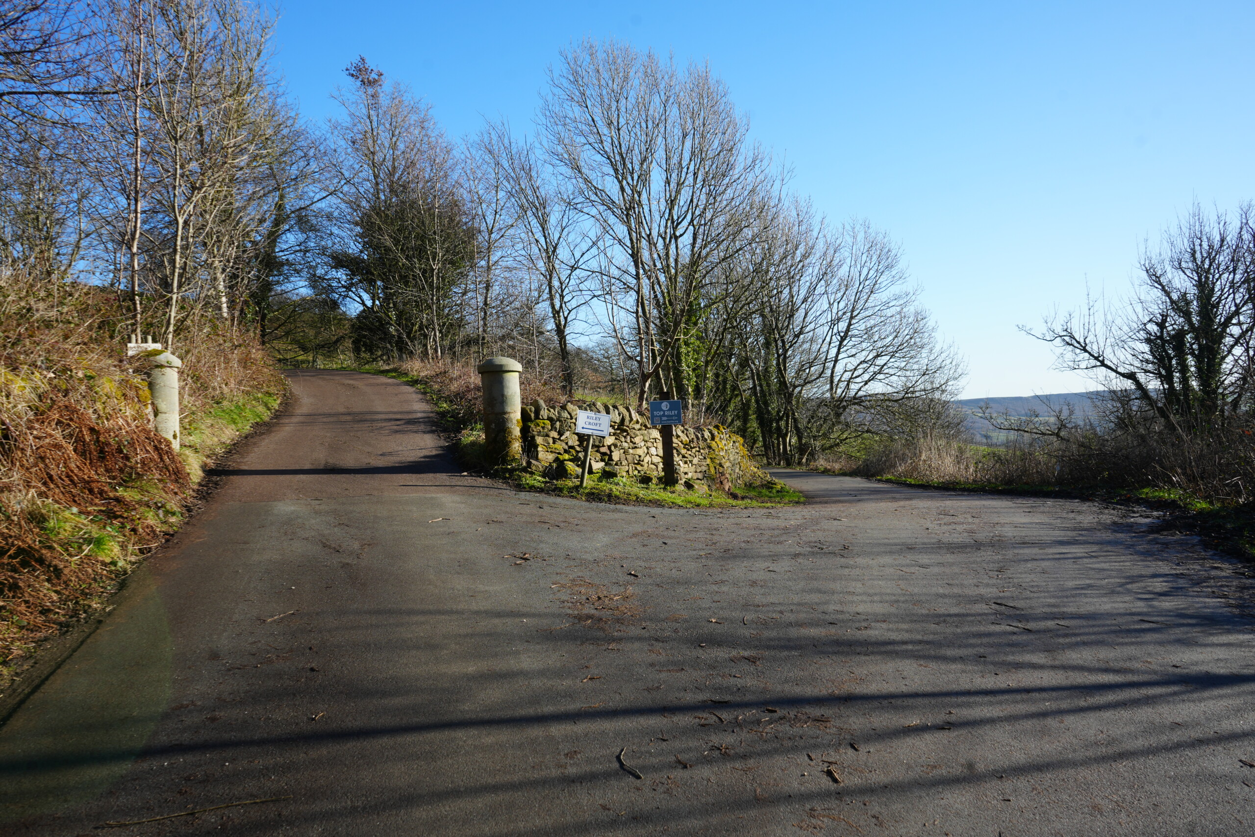
A rural road junction in Eyam, England, where the path forks in two directions. The left road ascends a hill between two stone pillars, leading towards a private estate, while the right road curves gently downhill towards the historic Riley Graves. A dry-stone wall with moss-covered stones separates the two paths, featuring signposts indicating directions. The surrounding landscape is dotted with leafless trees, undergrowth, and distant rolling hills beneath a bright blue sky.
The Riley Graves in Eyam, England, enclosed by a weathered dry-stone wall with an entrance featuring a small stone step. A National Trust plaque is mounted on the wall, marking the historical significance of the site where Elizabeth Hancock buried her husband and six children during the 1665 plague. Another memorial plaque is fixed to the entrance pillar. The graves sit in an open grassy field, surrounded by rolling hills and leafless trees, under an overcast sky.
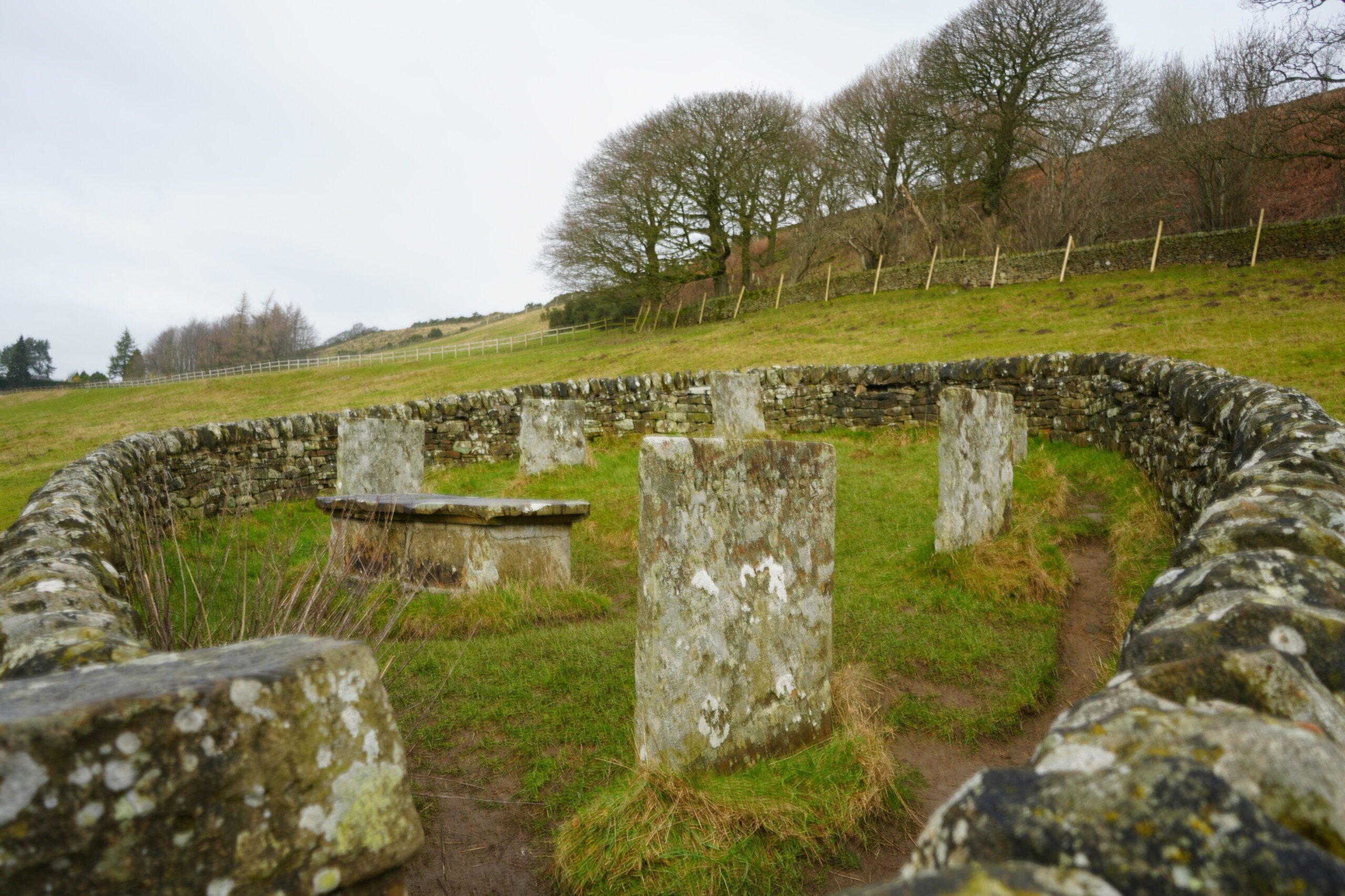
A view inside the Riley Graves enclosure in Eyam, England, showing weathered stone gravestones arranged in a circle within a low dry-stone wall. The headstones are aged and covered in lichen, marking the resting place of Elizabeth Hancock's family, who perished during the 1665 plague. A stone table tomb is also present in the centre. The surrounding landscape consists of rolling hills, wooden fences, and scattered trees under an overcast sky, adding to the solemn and historic atmosphere of the site.
A misty, panoramic view from the Riley Graves in Eyam, England, overlooking rolling green hills and patchwork fields in the distance. In the foreground, a weathered stone table tomb and gravestones sit within a low dry-stone wall enclosure. Beyond the graves, additional stone walls divide the landscape, and a wooden stile provides access to the surrounding countryside. The scene is framed by leafless trees, with mist clinging to the distant hills, creating a peaceful yet poignant atmosphere.

Riley’s Graves to Right Turn

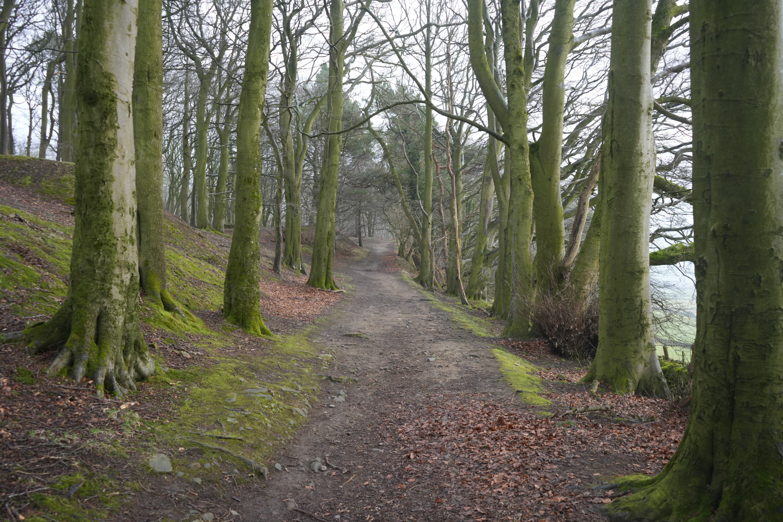
After passing Riley’s Graves, continue along the lane, and as the lane bends left, you can see Froggatt and Curbar Edge in the distance. Then turn right at a signed track into the woods. (This track gets muddy after wet weather).
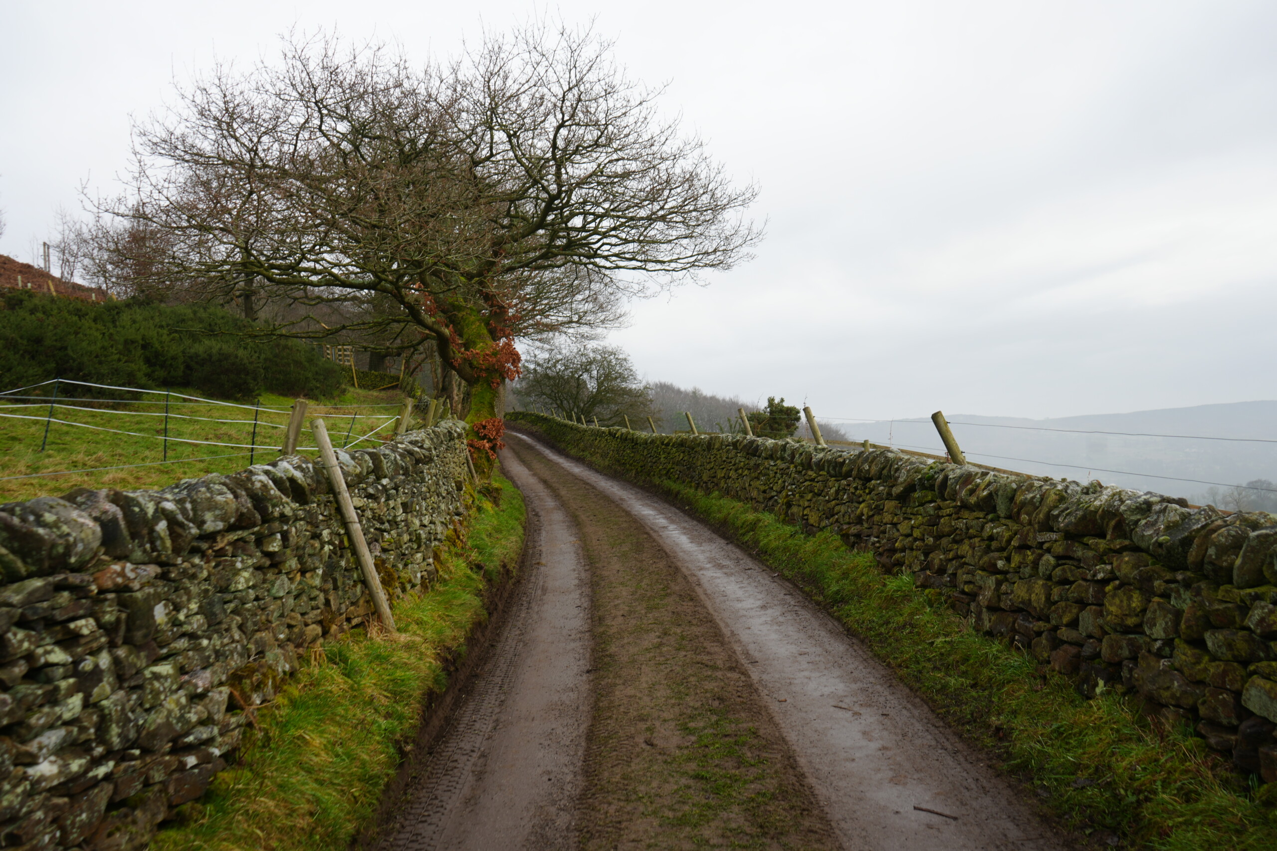
A narrow, muddy country lane in Eyam, England, flanked by two weathered dry-stone walls. The road curves gently to the left, disappearing into the distance. On the left side, a moss-covered tree with twisted branches and a few remaining rusty-orange leaves stands against a fenced grassy field. On the right, the wall overlooks rolling hills and misty countryside. The overcast sky and damp ground contribute to the tranquil yet atmospheric setting of this rural path.
A peaceful woodland path in Eyam, England, lined with tall, moss-covered trees. The dirt trail is slightly uneven, with scattered leaves and exposed roots, gently winding uphill into the distance. The trees on either side have bare branches, creating a canopy-like effect, while patches of green moss and fallen leaves cover the ground. The misty atmosphere in the background adds a sense of tranquility and seclusion to the woodland setting.

Right Turn to Waymarker for Stoney Middleton

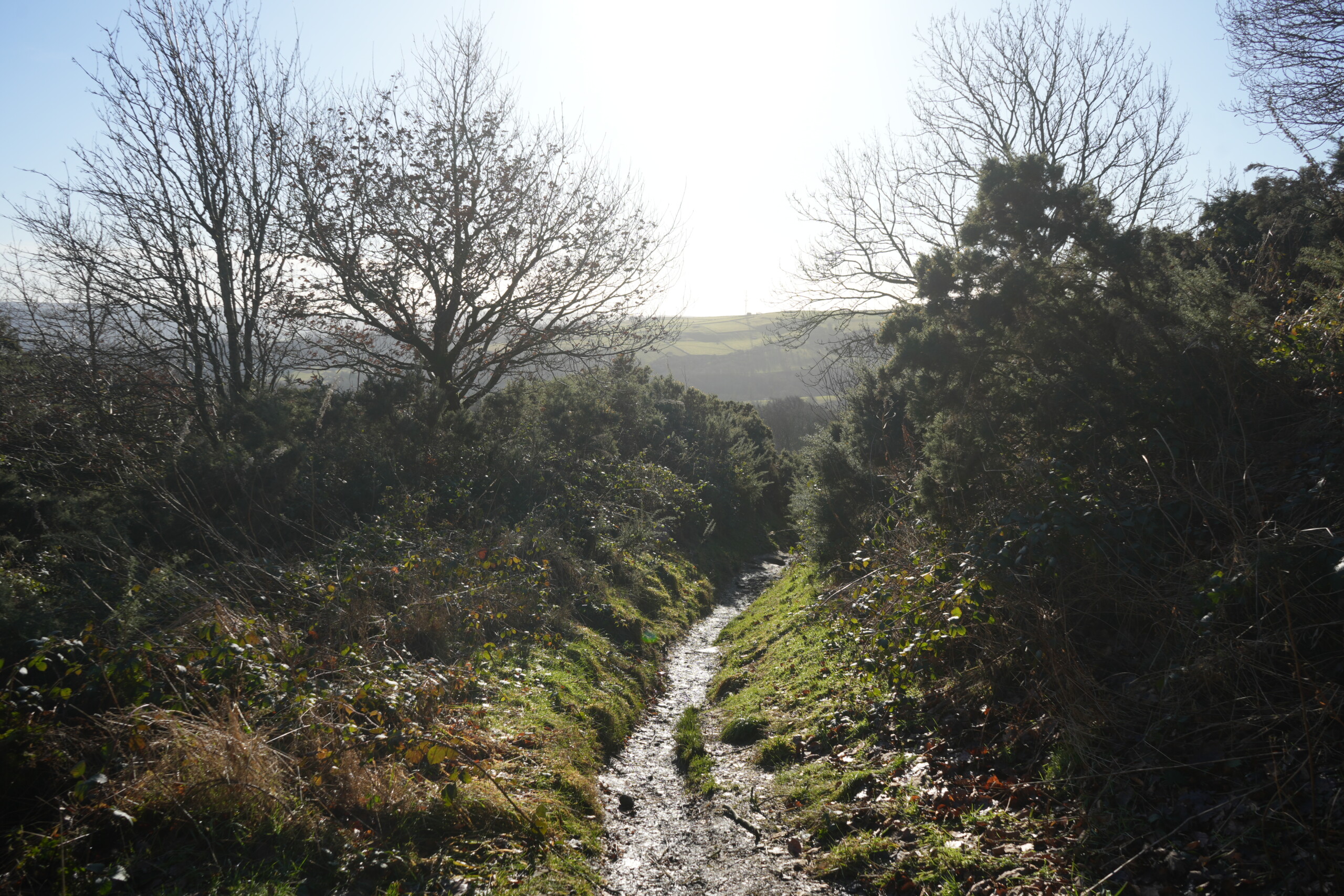
Follow the path through the woods and, at a right-hand bend, ignore a path off to the left. Continue along the track for a quarter of a mile, passing through two large wooden gates to reach the road. (note: The track is uneven with loose rocks underfoot and is muddy after wet weather).
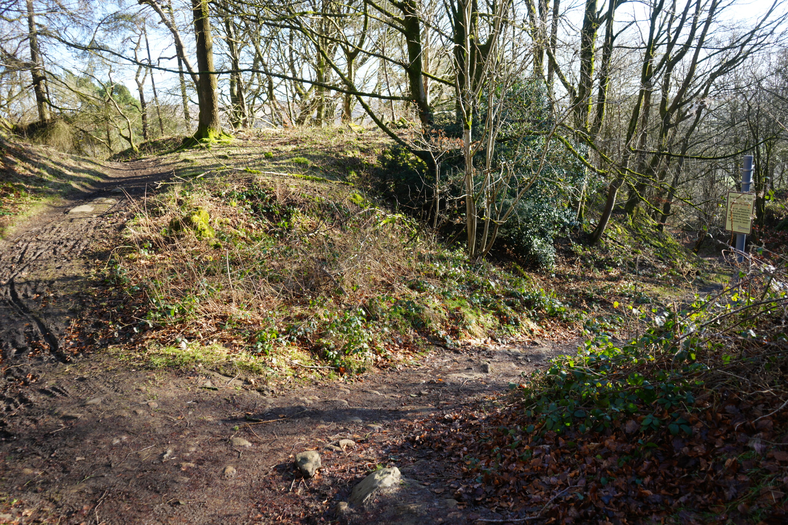
A woodland path in Eyam, England, where a dirt trail forks, offering a choice between continuing uphill to the left or turning right towards a signpost in the distance. The ground is covered in fallen leaves, patches of moss, and scattered rocks. Sunlight filters through the leafless trees, casting shadows on the uneven terrain. Green shrubs and ivy grow along the edges of the path, adding depth to the natural setting. A yellow informational sign is visible on the right, guiding walkers along the route.
A narrow, waterlogged footpath winds downhill through dense gorse bushes and vegetation in Eyam, England. The path glistens in the sunlight, reflecting the damp conditions, while the surrounding greenery is illuminated by the bright sky. Leafless trees stand on either side, framing the view of rolling hills and open countryside in the distance. The landscape stretches into the horizon, creating a peaceful yet rugged atmosphere along this rural walking route.

Waymarker for Stoney Middleton to Roman Baths

Cross the road diagonally left to a waymarker sign for Stoney Middleton. Turn right and follow the track steeply downhill, be careful as there are many loose stones underfoot. Pass a graveyard on the left and at the bottom, turn right keeping a wall close on your left.
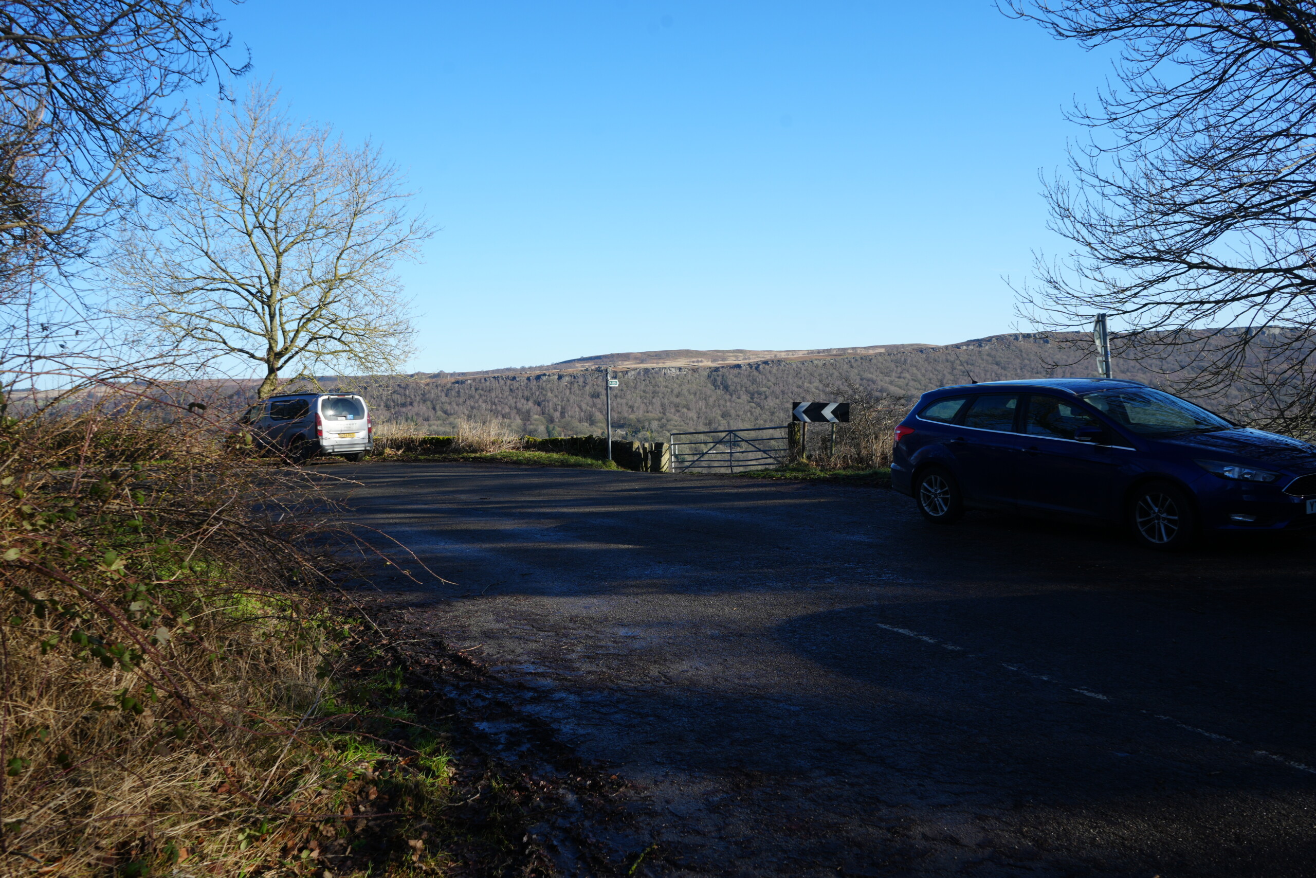
A quiet rural road junction in Eyam, England, with two parked cars—one silver and one blue—overlooking rolling hills and woodland in the distance. A large, leafless tree stands against a bright blue sky, casting long shadows on the tarmac. A metal gate and road sign with black and white chevrons indicate a sharp turn ahead. The scene captures the peaceful countryside with open views across the valley.
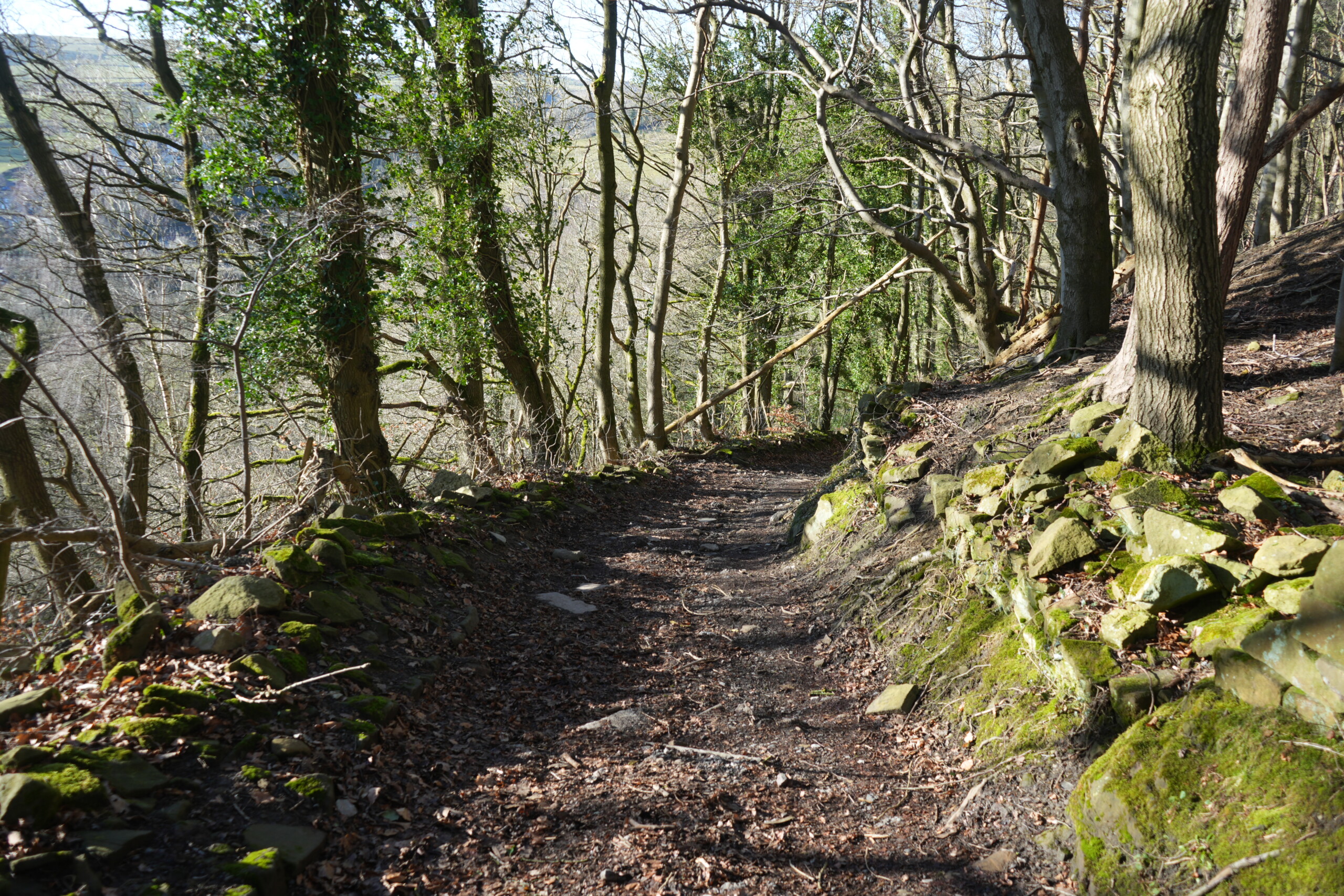
A rugged woodland path in Eyam, England, winding through a dense forest with trees covered in ivy. The uneven dirt trail is lined with moss-covered stones and scattered leaves, creating a natural, untouched feel. Sunlight filters through the branches, casting dappled shadows on the ground. The steep hillside on the right adds to the secluded and tranquil atmosphere, while the trees on the left open up to glimpses of rolling countryside in the distance.
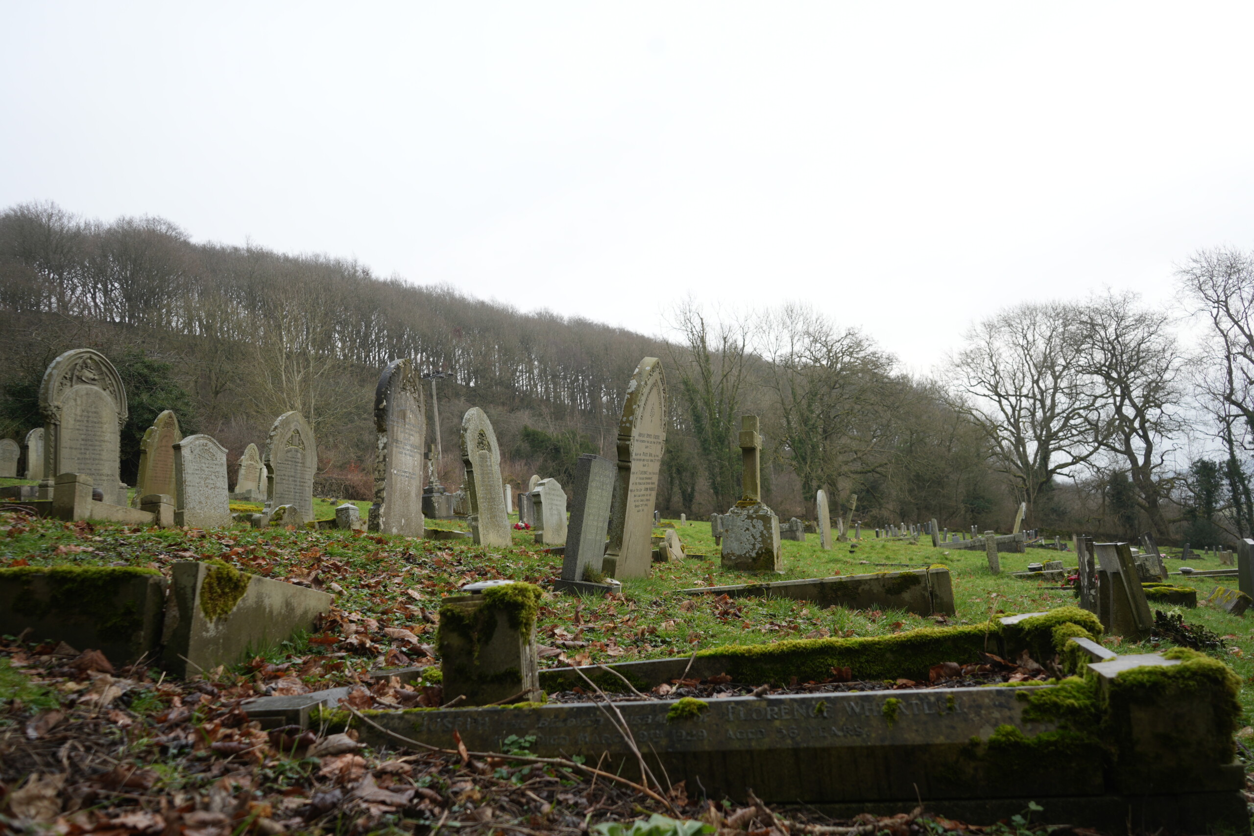
A historic graveyard in Stoney Middleton, England, with weathered and moss-covered headstones leaning at various angles. The ground is covered in fallen leaves and patches of grass, creating a peaceful yet solemn atmosphere. Some gravestones feature intricate carvings, while others are worn and eroded by time. Leafless trees and a wooded hillside in the background add to the sense of history and remembrance in this resting place, which is closely linked to the village’s tragic plague history.
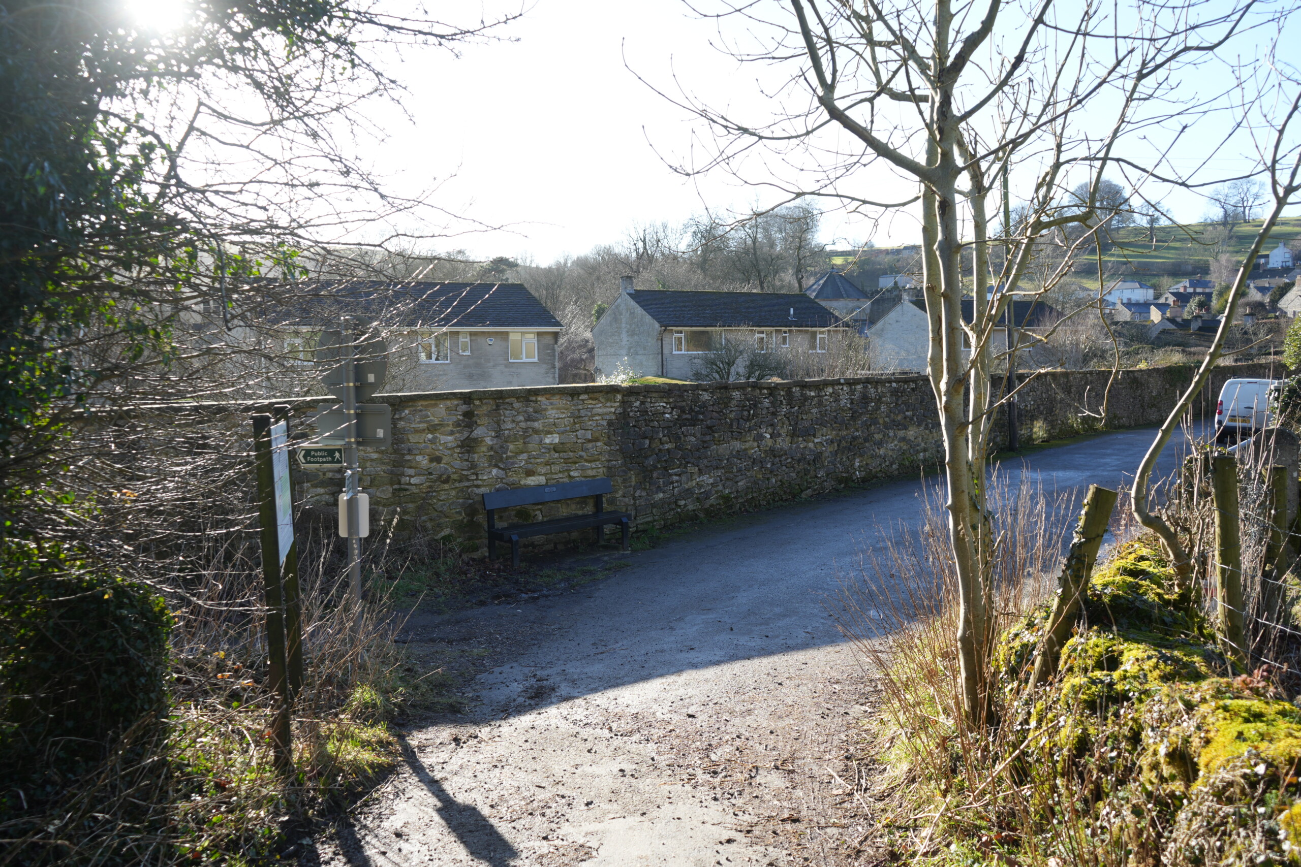
A quiet village lane in Stoney Middleton, England, where a footpath meets a paved road lined by an old dry-stone wall. A wooden bench is placed against the wall, providing a resting spot for walkers. Sunlight filters through the bare branches of nearby trees, casting long shadows on the ground. In the background, stone cottages and rolling countryside stretch towards the horizon, creating a peaceful rural scene. A white van is partially visible on the right, parked along the roadside." Let me know if you need any modifications!

Pass a stone building on the right. This is known locally as the Roman Baths, although there is no evidence the Romans ever came to Stoney Middleton other than a few coins found in the area. The spring was thought to treat sufferers of rheumatism. I was curious because the building appears too modern to be Roman. However, the baths were originally open-air but were later covered over, providing separate baths for men and women.
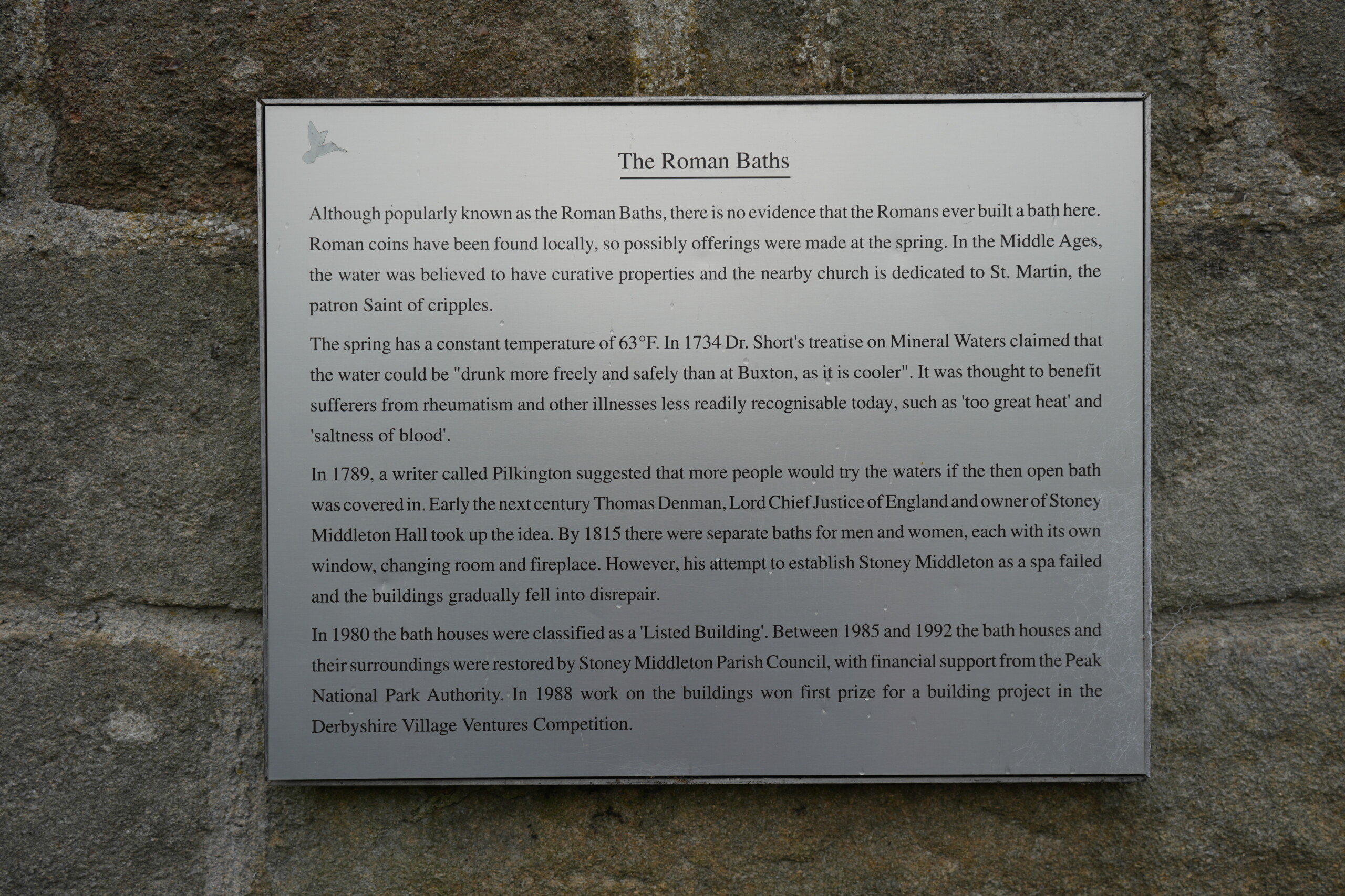
A historical information plaque mounted on a stone wall, detailing the history of the Roman Baths in Stoney Middleton, England. The sign explains that, despite the name, there is no evidence of Roman-built baths at the site, though Roman coins were found nearby. It describes the medieval belief in the spring’s healing properties and mentions its consistent temperature of 63°F. The plaque also recounts attempts in the 18th and 19th centuries to establish a spa, which ultimately fell into disrepair, before the baths were restored and classified as a listed building in 1980.

Roman Baths to T-Junction

Follow the road as it bends left, passing the hexagonal-shaped Saint Martin’s church on the left. The road then bends right to reach a T-junction.

(We carried on down to the main road running through Stoney Middleton and had a pit stop at ‘The Moon’ pub. After a relaxing break we retraced our steps back up the Nook and continued the walk)
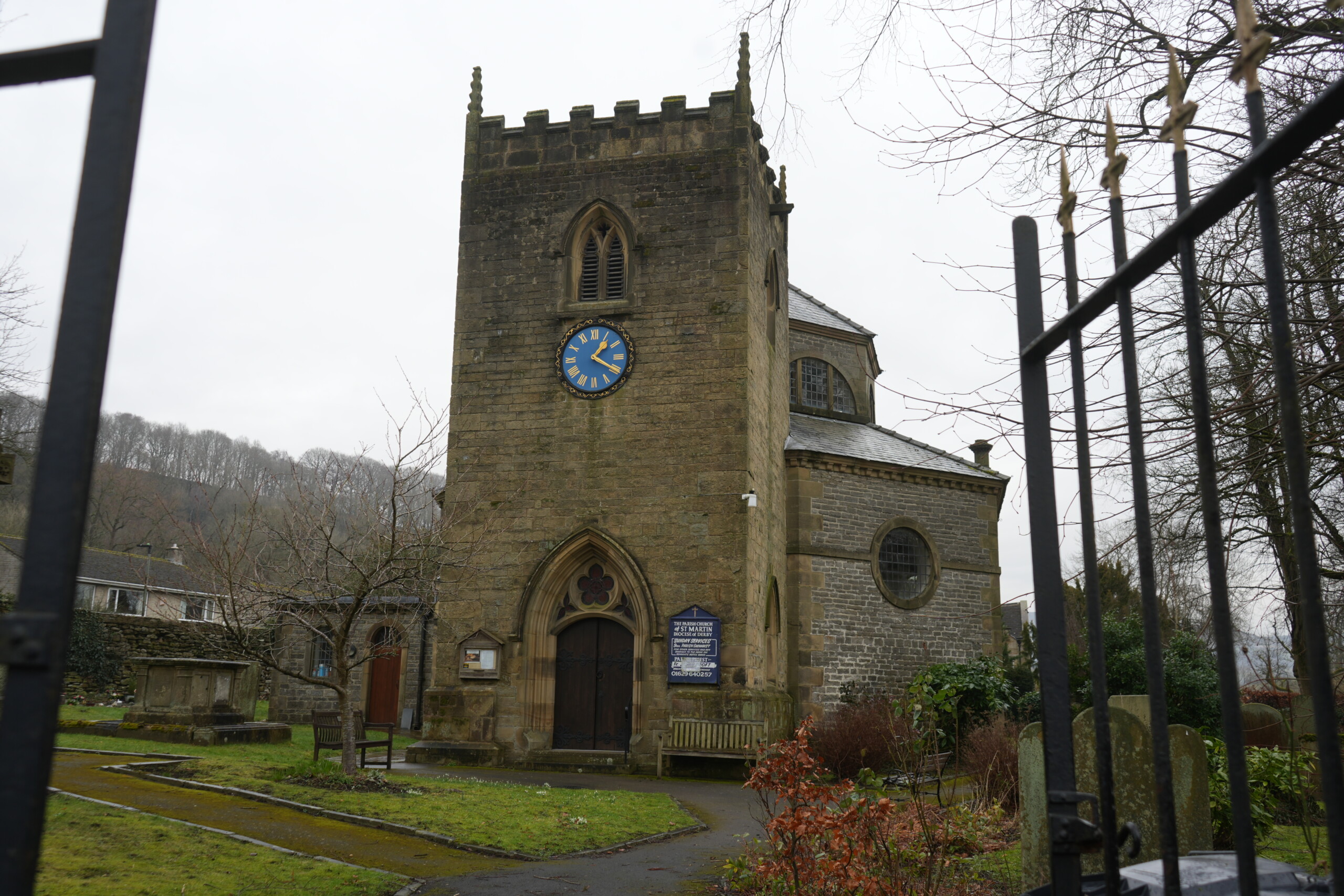
The Parish Church of St. Martin in Stoney Middleton, England, a historic stone church with a square tower featuring battlements and a blue clock face with gold Roman numerals. The entrance has a pointed arch doorway, and a church sign is mounted on the wall beside it. The churchyard is surrounded by a black wrought iron fence, with gravestones, a stone tomb, and neatly maintained gardens. Leafless trees and a hillside covered in woodland create a picturesque backdrop on this overcast day.
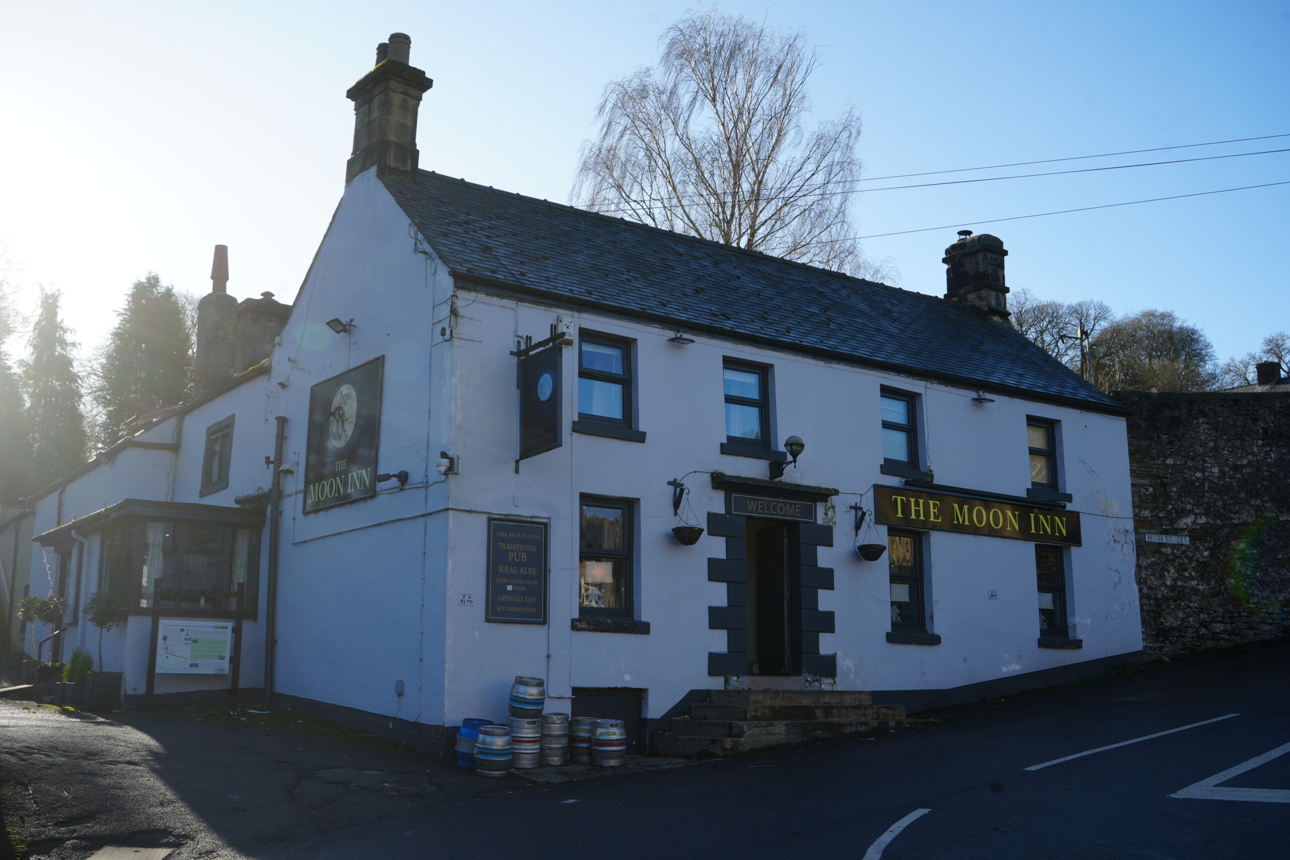
The Moon Inn, a traditional pub in Stoney Middleton, England, housed in a historic white-painted building with dark grey window frames and signage. The pub's name is displayed in gold lettering above the entrance and on a hanging sign featuring an image of the moon. A row of beer barrels sits outside near the entrance, and a small porch with an informational board is visible on the left side. The pub is situated at a road junction, with a stone wall and leafless trees in the background, under a clear blue sky.

T-Junction to Sign for Eyam

Turn right (or left if you called in at the Moon and are retracing your steps) to follow the minor road called The Bank that runs uphill between rows of stone cottages. On reaching a fork in the road, take the right-hand fork signed Eyam.
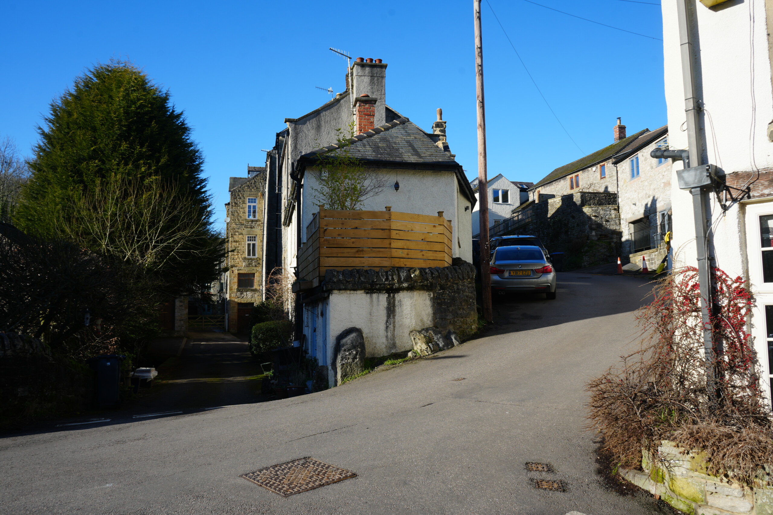
A scenic village junction in Stoney Middleton, England, featuring a narrow road splitting in two directions. A historic whitewashed cottage with a stone base and a wooden balcony is perched on the corner, elevated on a rocky foundation. To the right, a steep road leads uphill past more traditional stone buildings, with a parked car visible. On the left, a shaded driveway leads to additional village houses. The scene is framed by a tall evergreen tree and a blue sky, with warm sunlight casting shadows on the buildings and road.
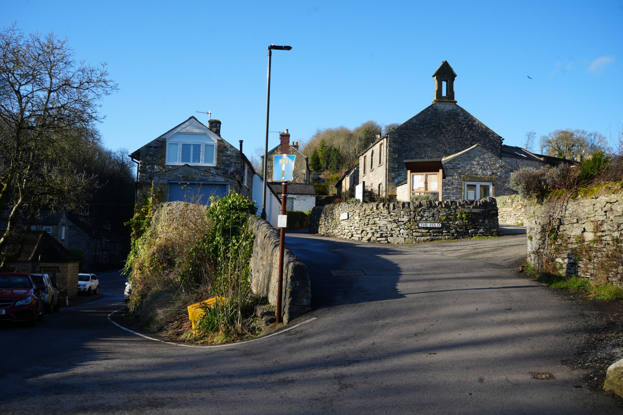
A picturesque fork in the road in a historic English village, featuring traditional stone cottages and dry-stone walls. The right-hand path leads uphill towards 'The Fold,' a stone building with a small bell tower, while the left path curves gently past ivy-covered walls and a modern house with white shutters. A lamppost with a faded blue sign stands at the junction, and a yellow grit bin is positioned near the stone wall. The clear blue sky and long shadows suggest a bright winter's day in a quiet countryside setting.

Sign for Eyam to Gate on Left

Continue uphill along Cliff Bottom and just past a sign ‘Unsuitable for Motor Vehicles’, turn left through a small wooden gate.
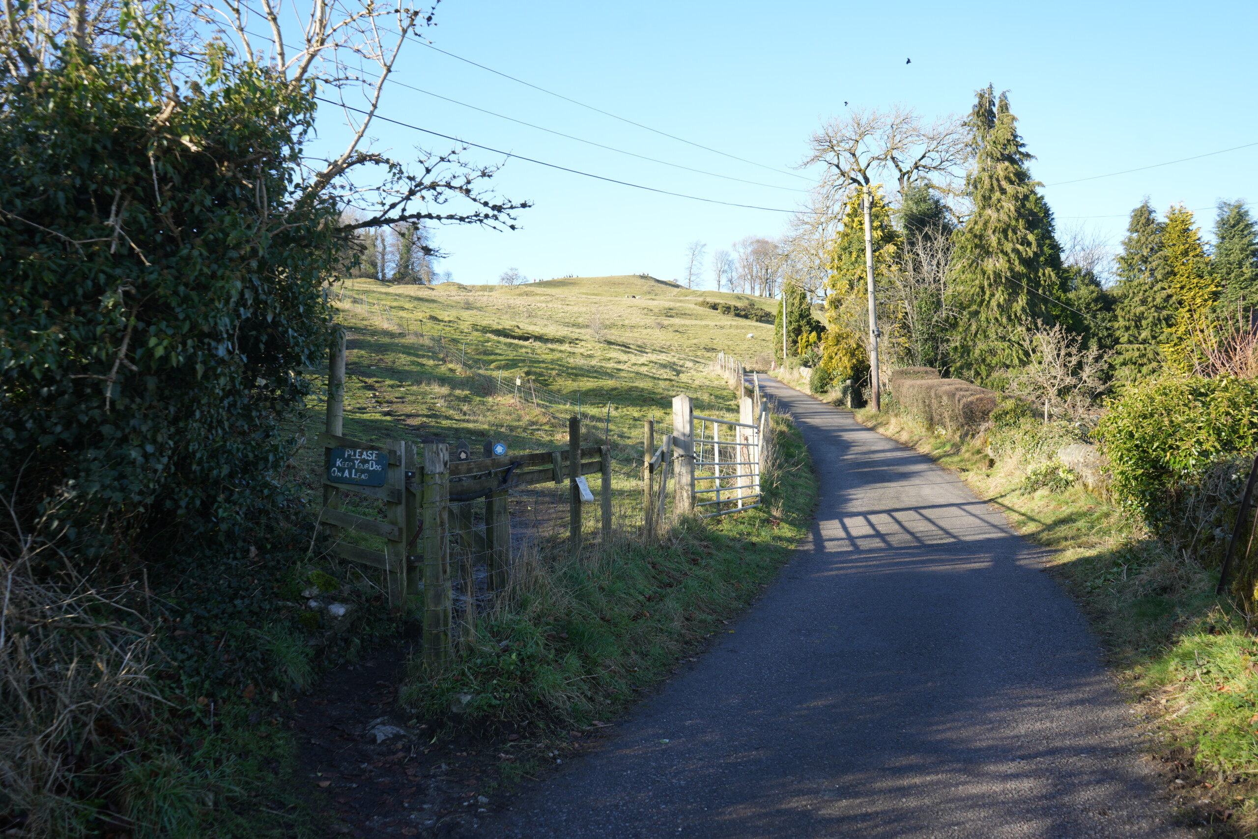
A rural country lane leading towards rolling green fields under a clear blue sky. To the left, a wooden gate provides access to a footpath across the open hillside, with a sign reminding walkers to stay on the path. A metal farm gate stands slightly ajar further up the lane, bordered by wooden fencing. Trees and hedgerows line the right side of the road, with a tall yellow post standing among them. Shadows from the trees stretch across the road, creating a peaceful countryside scene.
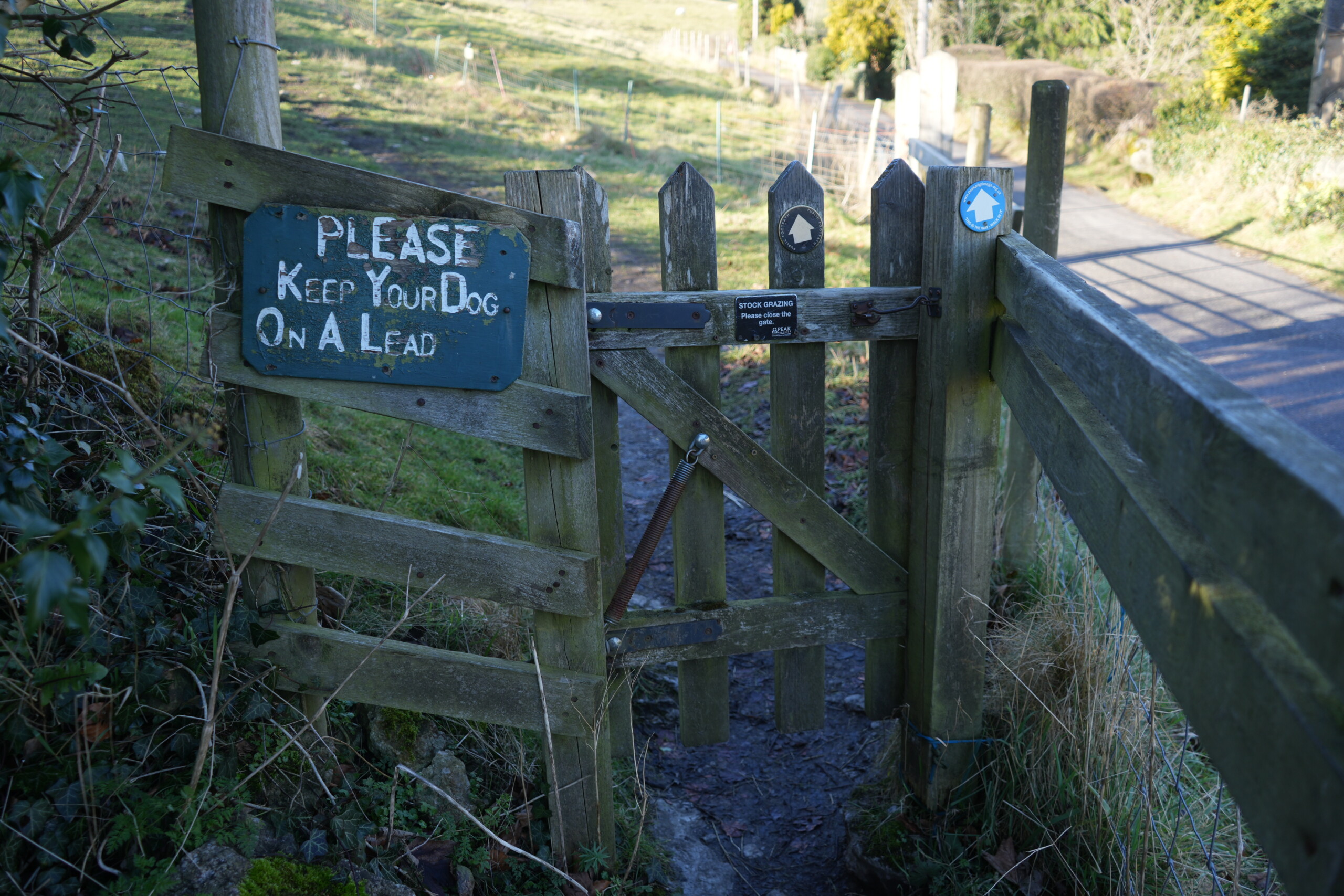
A wooden gate leading to a countryside footpath, with a green sign reading 'PLEASE KEEP YOUR DOG ON A LEAD' attached to the fence. The gate is secured with a metal latch and a spring mechanism, and there are two waymarker signs with house-shaped symbols indicating a walking route. A small black sign on the gate warns of stock grazing and reminds walkers to close the gate behind them. Beyond the gate, a dirt path leads uphill through open fields, enclosed by fencing. Sunlight casts shadows across the nearby tarmac road.

Book Your Perfect Stay

Gate on Left to Boundary Stone

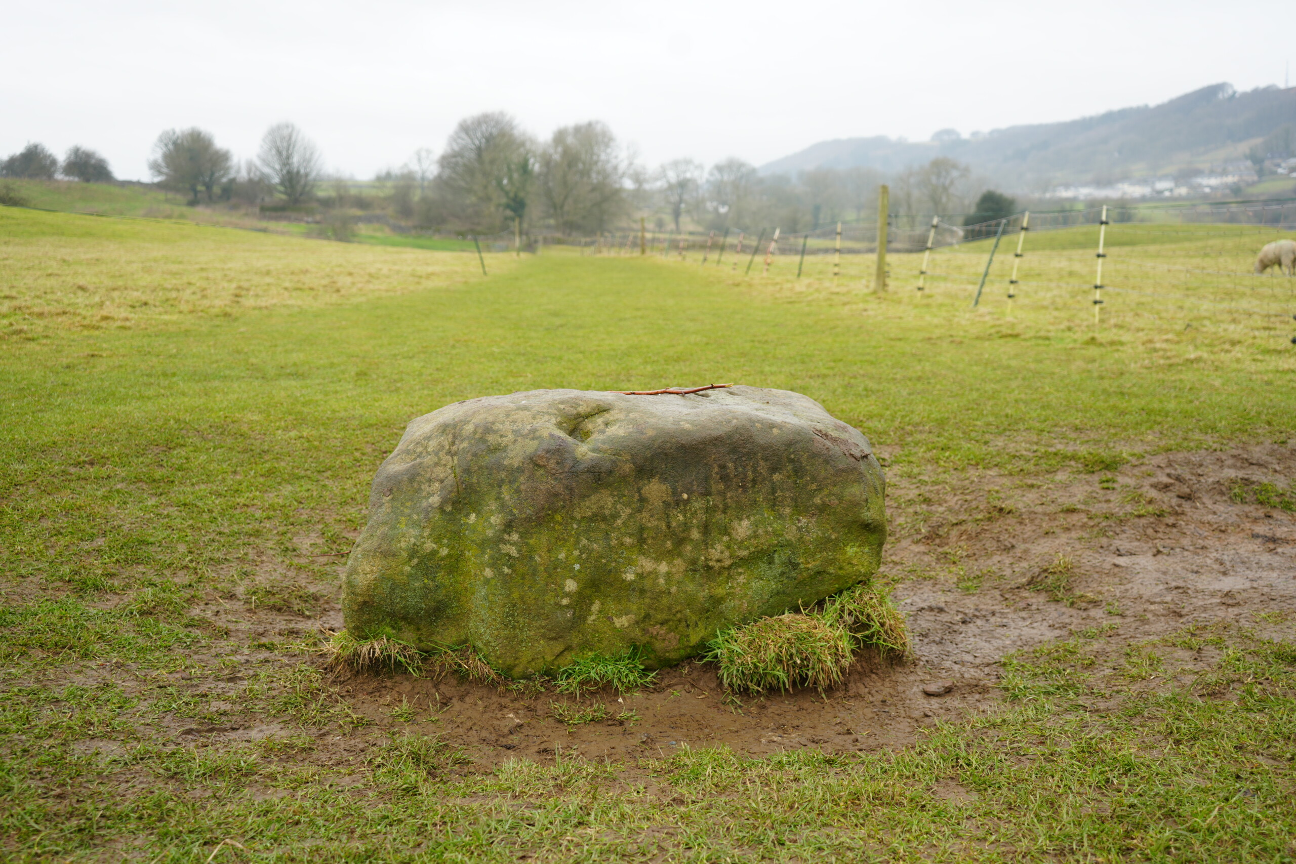
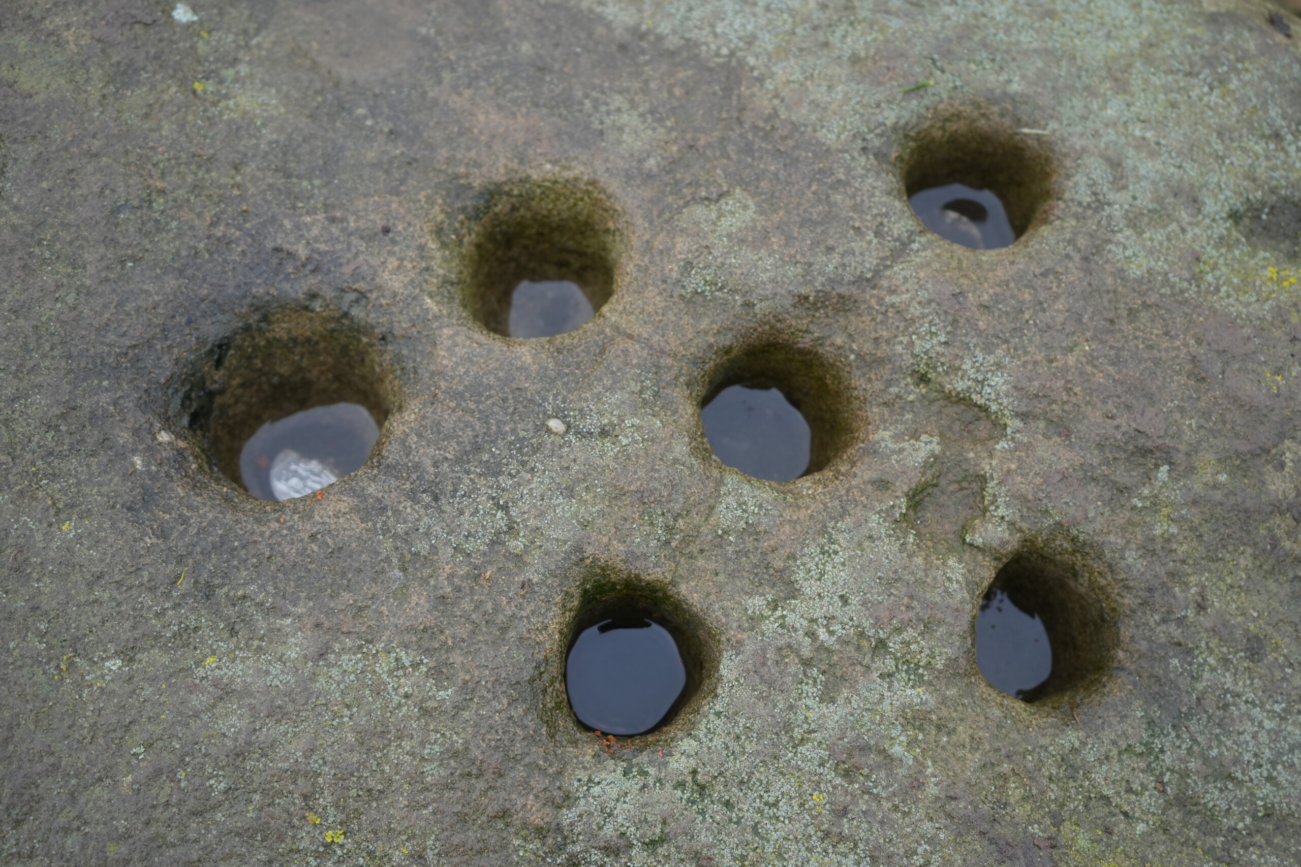
Walk steeply uphill following the obvious path over the field. Don’t forget to take in the views at the top. As the path levels off, pass a small copse of trees and towards a boundary stone on the right. Residents of Eyam left money in small holes in the top of the stone during the plague, in exchange for food and medicine. The stone has six holes, and each one was filled with vinegar to disinfect the money. This is just one of several ‘plague stones’ marking the boundary that should not be crossed by either a person from Eyam or an outsider from the surrounding villages.
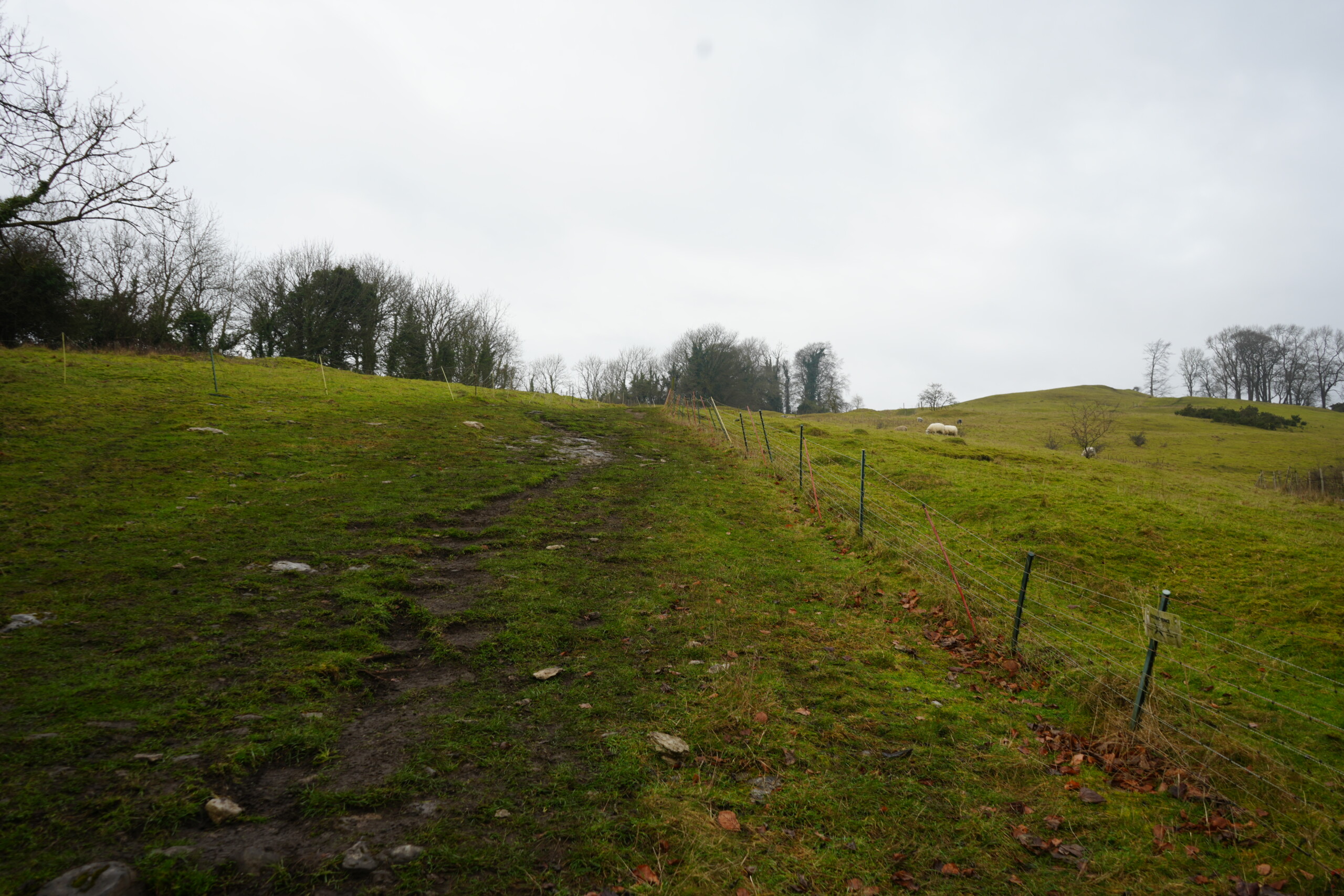
A steep, grassy hillside with a worn footpath leading uphill, bordered by a wire fence on the right. The ground appears damp and slightly muddy, with scattered rocks along the path. In the distance, a few sheep graze on the rolling hills, and leafless trees stand against an overcast sky.
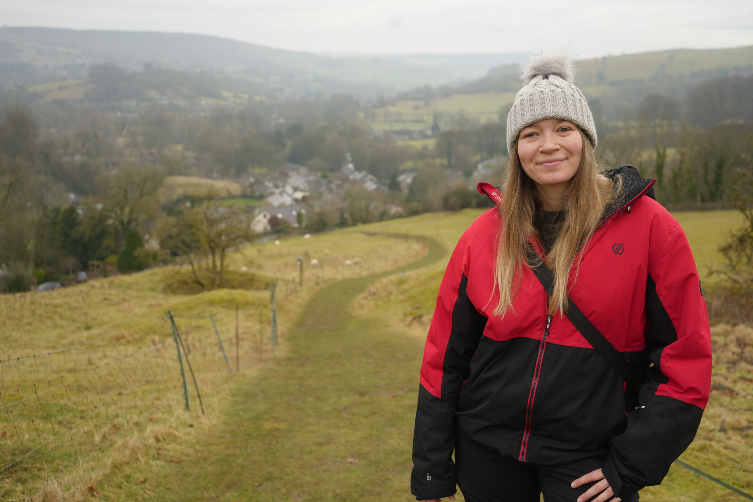
The Nott'm Lass wearing a red and black outdoor jacket, black trousers, and a grey knitted beanie with a fluffy pom-pom stands smiling on a grassy hillside. Behind her, a winding footpath leads down towards a scenic countryside village, with rolling hills, scattered trees, and sheep grazing in the fields. The sky is overcast, creating a soft, diffused light over the landscape.
A moss-covered stone known as the Boundary Stone sits prominently in a grassy field, surrounded by muddy ground. A pathway extends into the distance, flanked by wooden fence posts and wire fencing. Rolling hills, scattered trees, and a misty countryside landscape can be seen in the background under an overcast sky.
A close-up view of the Boundary Stone, showing a series of small, circular holes carved into the weathered and moss-covered rock. The depressions are filled with water, reflecting the surroundings. The stone’s rough texture and natural lichen growth are visible, hinting at its historical significance.

Boundary Stone to Squeeze Stile

Continue across the field heading for a gate in the wall ahead. Pass through the gate and a squeeze stile, then follow a walled grassy track to another squeeze stile.
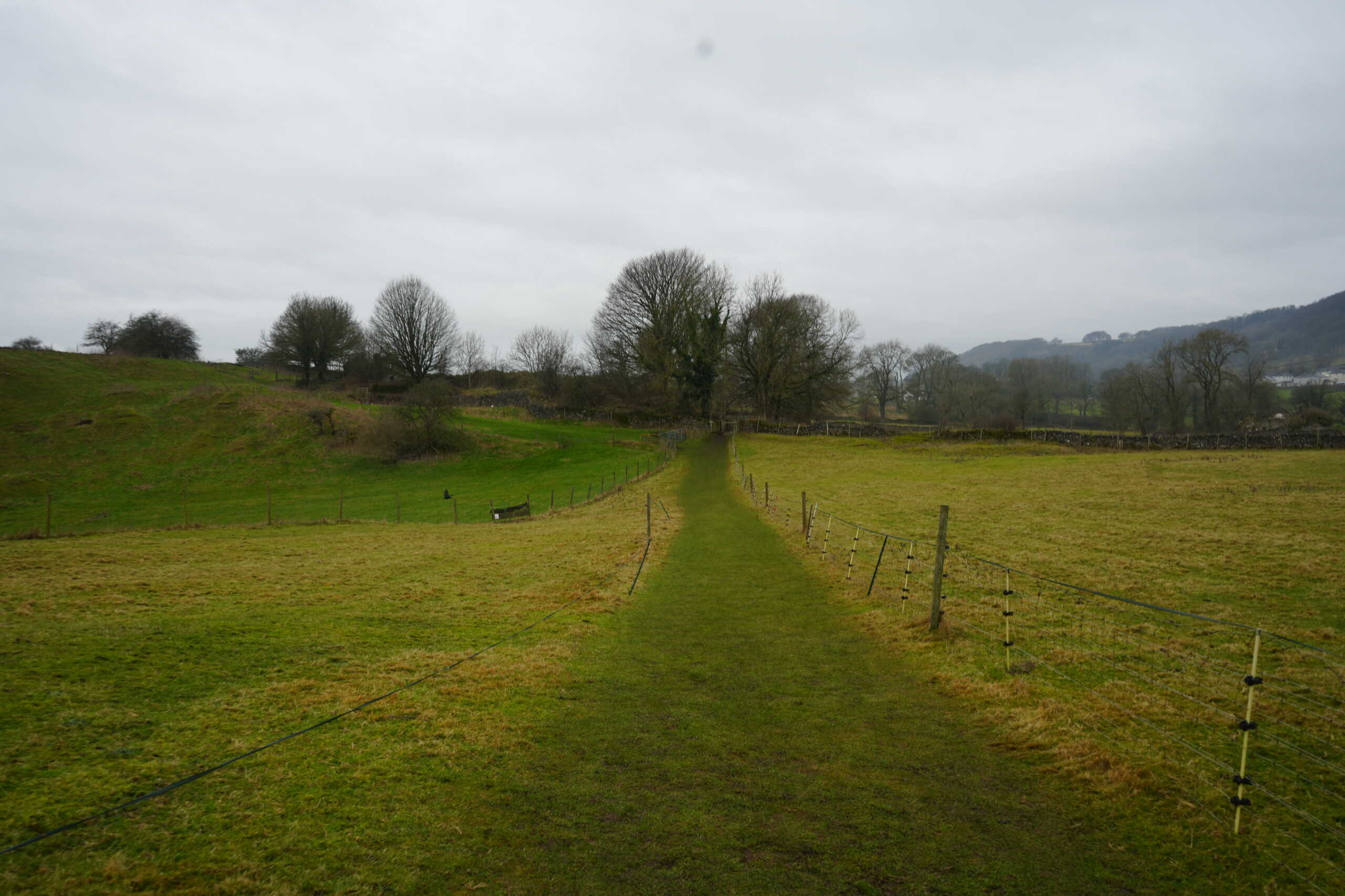
A narrow grassy footpath runs through a field, bordered by wire fencing on both sides. The path leads towards a small gate in the distance, surrounded by trees and rolling countryside. The overcast sky casts a soft, diffused light over the landscape.

Squeeze Stile to Lydgate Graves

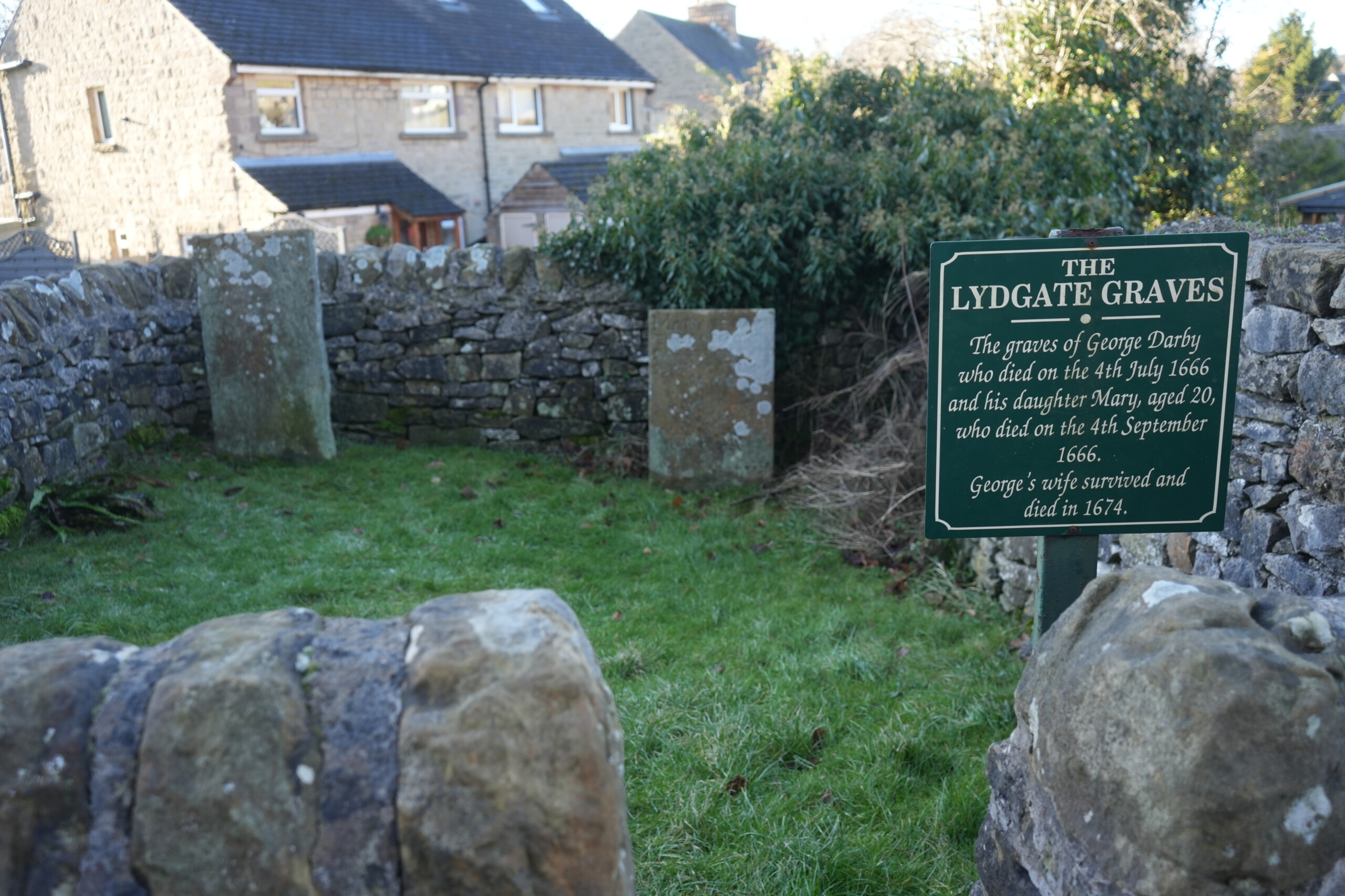
Cross the next field heading towards the farm buildings. Pass through two metal gates to join the lane. Continue forward along Lydgate, passing a small enclosure on the left which contains two gravestones where members of the Darby family were buried after dying tragically from the plague.
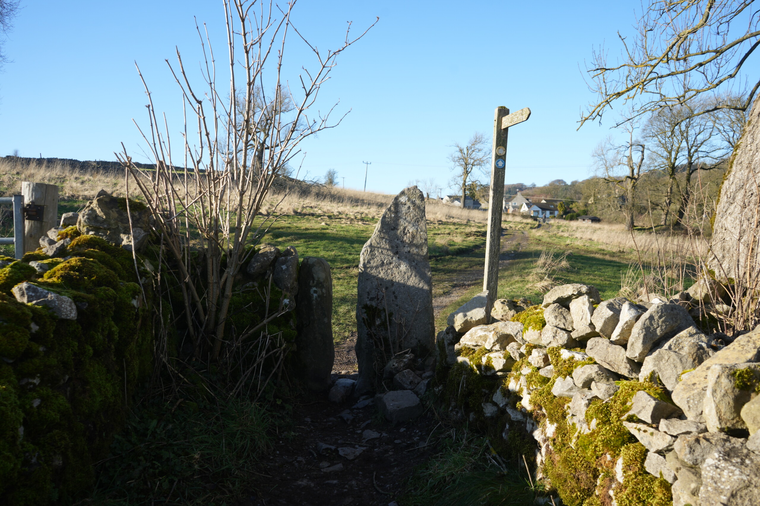
A traditional squeeze stile made of large, upright stone slabs set within a moss-covered dry stone wall. A wooden signpost stands nearby, marking the footpath leading towards open fields and distant farm buildings under a clear blue sky.
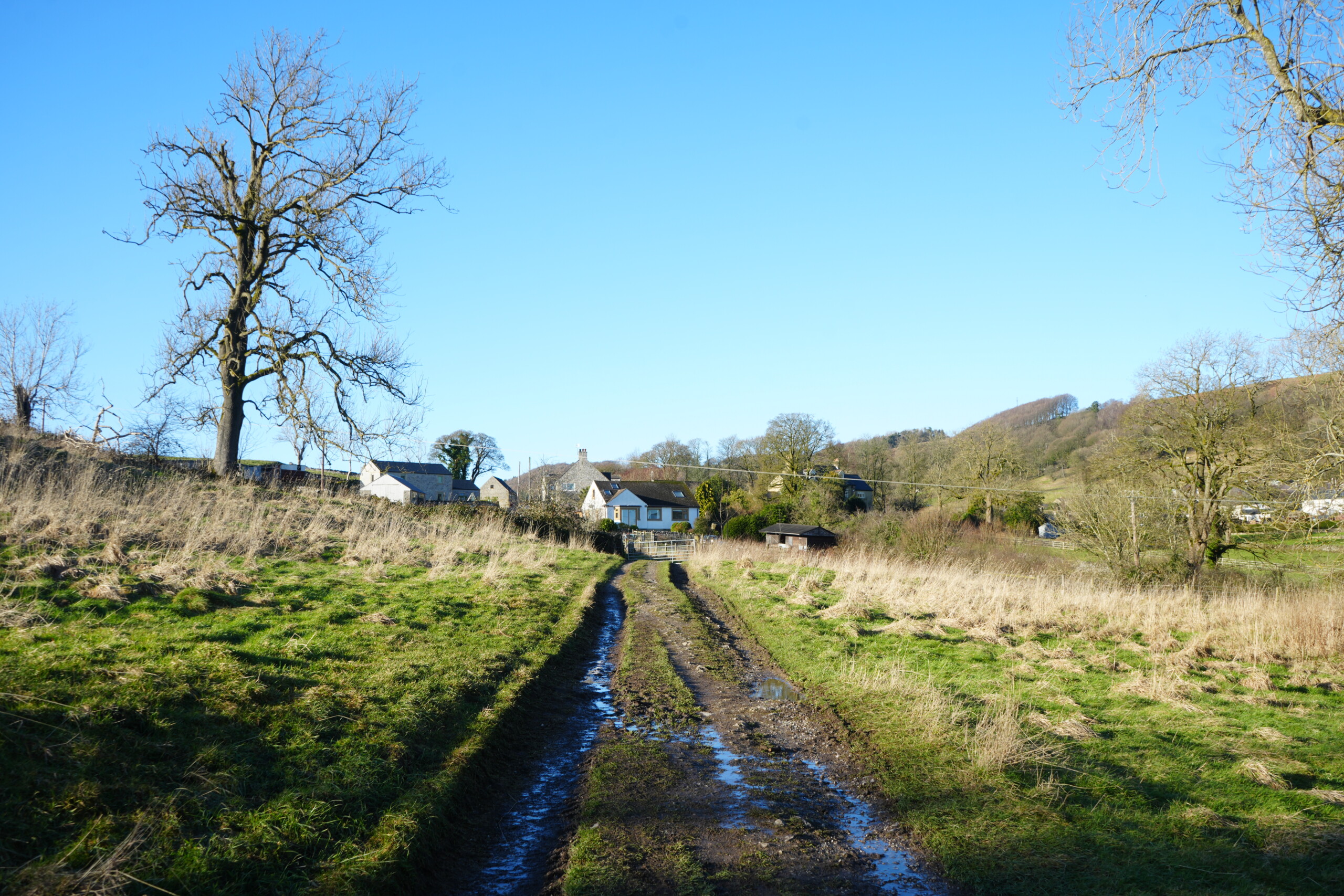
A muddy country track leading towards farm buildings and houses in a rural landscape. The path is flanked by grassy fields with dry, golden vegetation, while a large, leafless tree stands on the left. Rolling hills and trees can be seen in the background under a clear blue sky.
A small, enclosed grave site with two weathered gravestones standing within a stone-walled area, surrounded by grass. A green sign with white lettering titled 'The Lydgate Graves' provides historical information about George Darby and his daughter Mary, who both died in 1666. Modern houses can be seen in the background beyond the stone wall.

Lydgate Graves to End

Continue along Lydgate until you reach the main road. Turn left. Now simply retrace your steps back along Church Street, through the village, and towards to the car park at the end of the walk. We stopped at The Village Green Café, and sat outside in the sunshine with coffee and delicious cake!
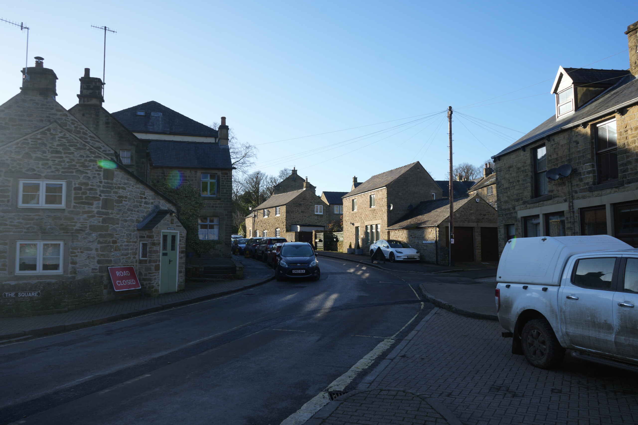
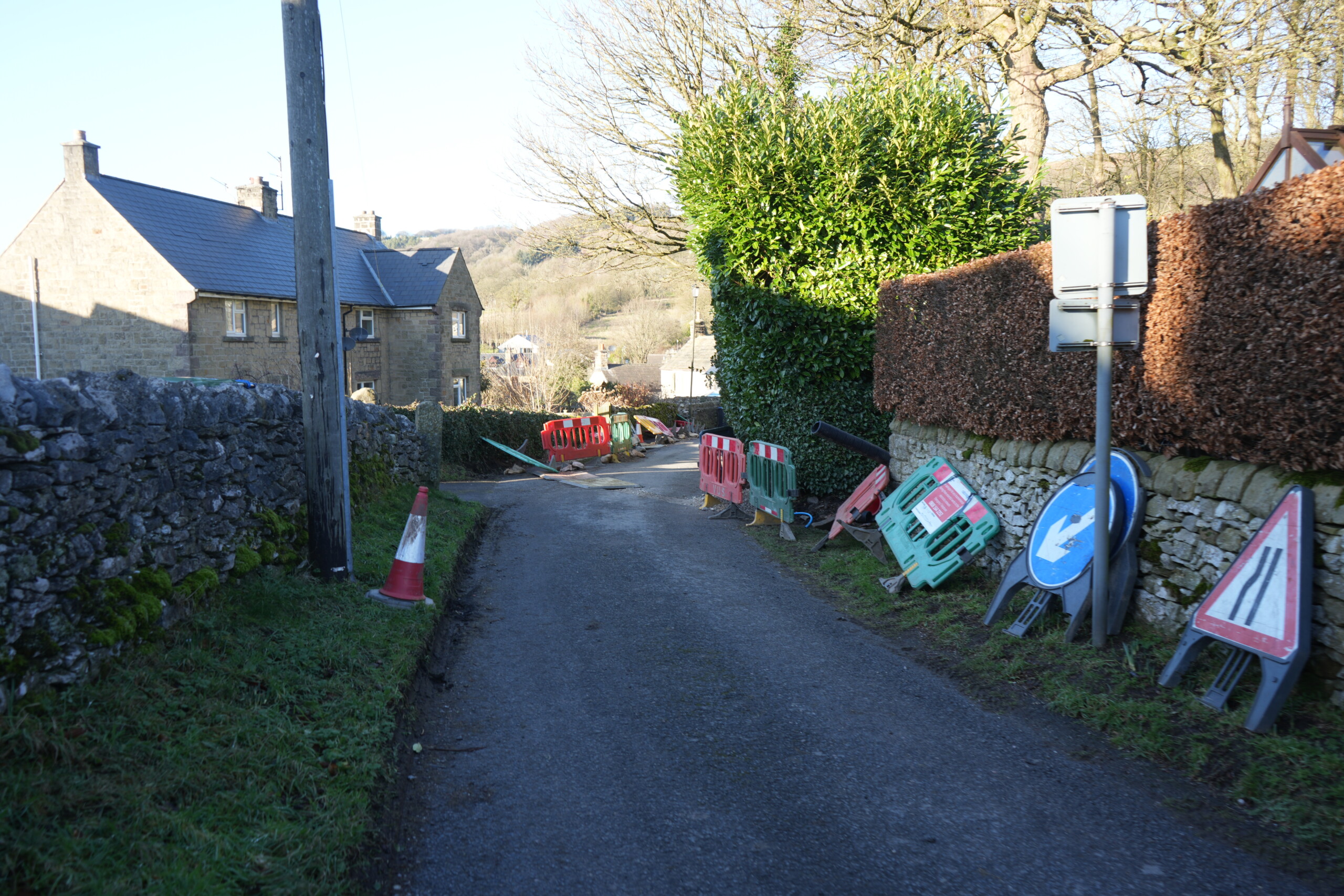
A quiet village street lined with traditional stone houses in warm sunlight. Parked cars are seen along the road, and a red 'Road Closed' sign is positioned near a house with a pale green door. Overhead wires stretch across the scene, with clear blue skies above. The setting appears to be a historic English village.

A Final Note

Having experienced Covid and lockdown, I could relate to the plague sweeping though the village and the isolation that the villagers imposed upon themselves to prevent the deadly disease from spreading. Reading the plaques in the front gardens of the cottages really brought it home to me the suffering that the poor families endured. Overall, the walk was very enjoyable and gave a fascinating insight into the tragic history of the area.

FAQs

FAQs About Eyam

What happened in Eyam during the plague?
+

In 1665, the village of Eyam voluntarily quarantined itself to stop the spread of the Bubonic Plague. Over 260 villagers died, but their actions prevented the disease from spreading to nearby areas.

How long is the Eyam circular walk?
+

The Eyam circular walk is approximately 3.2 miles (5.1 km) and takes around 1 hour and 30 minutes to complete. It’s an easy route with historical points of interest along the way.

Can you visit Riley’s Graves in Eyam?
+

Yes, visitors can walk to Riley’s Graves, where Elizabeth Handcock buried her husband and six children during the plague. The site offers a poignant look at the village’s history and has stunning views over the valley.

Is Eyam village dog-friendly?
+

Yes, Eyam is a dog-friendly village, and dogs can be off-lead in some areas of the walk. However, some historical sites and cafes may require dogs to be on a lead.

What are the must-see historical sites in Eyam?
+

Key historical sites in Eyam include Eyam Hall, the Plague Cottages, Riley’s Graves, the Boundary Stone, and Eyam Parish Church, which all tell the story of the village’s tragic past.